
Map study
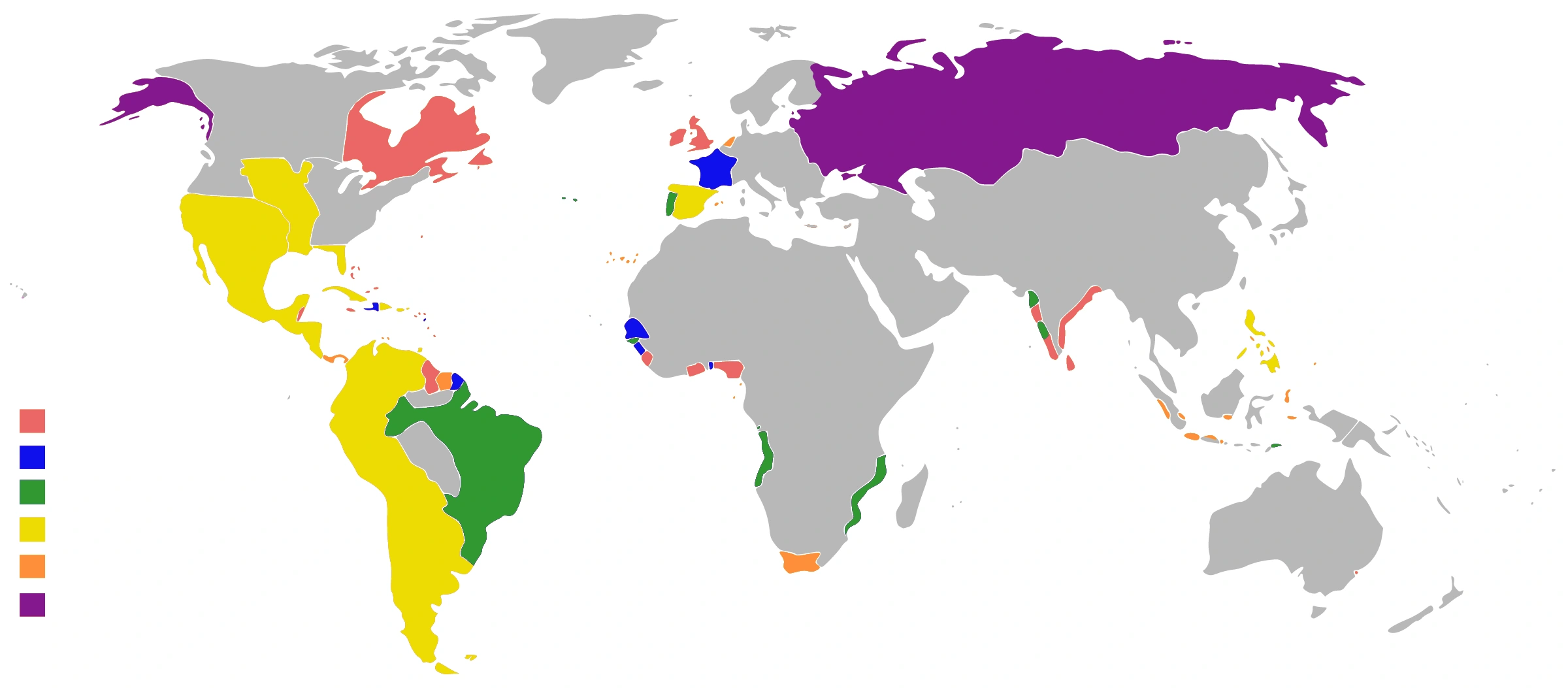
Colonial empires in 1800: global context for European expansion. A date-specific map, not the maximum territorial extent of every colonial power.
- Read the legend and reference date before interpreting regional patterns.
- Relate the map to the article’s topic; verify current administrative boundaries or data separately.
Credit: George Tsiagalakis · CC BY-SA 4.0 · sourceConverted to WebP on an opaque white background; proportionally resized without cropping. Original cartography and legend retained.
1. Economic foundations and geographical reach
Long-distance exchange was an important component of the Harappan urban economy, alongside agriculture, pastoralism and local craft production. Large settlements such as Harappa, Mohenjo-daro, Dholavira and Rakhigarhi depended on connections with smaller settlements and resource-producing regions. River plains supplied agricultural produce, while stones, metals and marine shells often came from distant ecological zones. Trade therefore linked cities not only with foreign societies but also with communities within and beyond the civilization’s settlement area.
Exchange networks existed before the Mature Harappan phase, but urban expansion after about 2600 BCE increased their scale and organizational complexity. Harappan influence extended across the Indus basin, Cholistan, parts of the Ghaggar-Hakra region, Gujarat and adjoining areas. This distribution provided access to river corridors, inland tracks and Arabian Sea routes. The movement of materials across these environments encouraged regional specialization without requiring every settlement to produce every essential commodity.
For examination purposes, distinguish three overlapping spheres: exchange within Harappan territory; procurement from neighbouring resource regions; and overseas contact with the Persian Gulf and Mesopotamia. An imported object establishes movement or contact, but does not by itself prove direct trade between its source and its final destination. Intermediaries, gifts and repeated exchanges could also circulate goods.
Timeline
Before approximately 2600 BCE
Regional exchange networks developed during the Early Harappan period.
Approximately 2600–1900 BCE
Mature Harappan urbanism supported extensive internal and overseas exchange.
Twenty-fourth–twenty-third centuries BCE
Sargon of Akkad’s inscription referred to ships from Meluhha, Magan and Dilmun.
After approximately 1900 BCE
Urban transformation accompanied the reorganization of Harappan production and exchange networks.
2. Commodities, resource regions and craft production
Harappan crafts relied on varied raw materials. Copper was available from Rajasthan, particularly the Khetri region, while connections with Oman suggest an additional source within wider exchange networks. Afghanistan was an important source region for lapis lazuli, especially Badakhshan. Gujarat supplied carnelian and other stones used in bead-making. Marine shells came from the Arabian Sea coast. Identifying a possible resource region, however, is not the same as securely tracing the origin of every excavated object.
Beads were particularly suitable for long-distance trade because they combined high value with low bulk. Harappan craftspeople developed demanding techniques for drilling, heating and polishing stones. Long carnelian beads and etched carnelian beads are significant markers of contact with western Asia. Chanhudaro is associated with specialized bead-making, while Lothal also provides evidence of bead production. Coastal settlements such as Nageshwar and Balakot participated in shell-working networks.
Likely outward-moving goods included beads, shell objects, ivory products and timber. Mesopotamian texts associate Meluhha with valued commodities, but some ancient commodity names and species identifications remain uncertain. Cotton was known to the Harappans, yet the scale of overseas cotton-textile exports cannot be established securely. Metals and selected stones moved towards Harappan settlements, although some commodities could move in several directions through different networks.
The archaeological record favours durable objects such as stone beads, pottery and metal artefacts. Perishable commodities, including textiles, foodstuffs and wood, are much less visible. Consequently, a list of excavated trade goods should not be mistaken for a complete account of Harappan commerce.
A simplified reconstruction of Harappan commodity movement
- 1. Procure raw materials from mines, coasts and other resource zones
- 2. Move materials through land, river or coastal networks
- 3. Process materials in specialized craft workshops
- 4. Measure and possibly authenticate consignments using weights and sealings
- 5. Distribute finished products to regional consumers or overseas exchange partners
3. Land, river and maritime routes
Overland routes connected the Indus region with Baluchistan, Afghanistan and the Iranian plateau. Shortugai, near the Kokcha River in northeastern Afghanistan, contained Harappan material culture and is commonly interpreted as an outlying settlement linked with exchange. Its location offered access to networks involving lapis lazuli and other resources. Nevertheless, its exact administrative relationship with major Indus cities is unknown; describing it as a demonstrably state-controlled colony would exceed the evidence.
Rivers probably carried people and goods between inland settlements and coastal outlets. Boats could transport bulky cargo more efficiently than land transport in suitable stretches, while carts and pack animals connected settlements away from navigable waterways. Archaeological boat representations indicate familiarity with water transport, but neither the precise design of merchant fleets nor regular sailing schedules can be reconstructed confidently.
Maritime routes connected Gujarat and the Makran coast with Oman and the Persian Gulf. Sutkagen-dor near the Dasht River system and Balakot near the Sonmiani coastal zone are important sites in this discussion. Coastlines, estuaries and river channels have shifted since Harappan times, so present-day distance from the sea does not necessarily indicate ancient accessibility. Lothal’s basin and associated structures suggest a significant exchange centre, even though the basin’s exact function remains disputed.
| Place or ancient name | Location or identification | Significance |
|---|---|---|
| Shortugai | Northeastern Afghanistan | Harappan settlement near networks accessing lapis lazuli and other resources |
| Lothal | Gujarat | Bead production, exchange and a basin conventionally interpreted as a dockyard |
| Sutkagen-dor | Makran region, present-day Pakistan | Strategic position along western coastal communication routes |
| Dilmun | Principally Bahrain and adjacent Gulf areas | Intermediary in Persian Gulf exchange |
| Magan | Generally Oman and adjacent southeastern Arabia | Maritime exchange and copper-producing region |
4. Mesopotamian connections and commercial organization
Mesopotamian inscriptions provide an external written perspective on exchange. An inscription attributed to Sargon of Akkad, who ruled in the twenty-fourth to twenty-third centuries BCE, refers to ships of Meluhha, Magan and Dilmun docking at Akkad. Meluhha is widely associated with the Indus region because textual descriptions and archaeological distributions broadly converge. Dilmun, centred on Bahrain and neighbouring Gulf areas, functioned as an intermediary in regional commerce, while Magan is generally located in Oman and adjacent southeastern Arabia.
Harappan seals and characteristic beads found in western Asia complement these textual references. The cylinder seal of Shu-ilishu describes him as an interpreter of the Meluhhan language, indicating a need for linguistic mediation. Such evidence suggests contact involving people as well as objects. However, Mesopotamian references do not identify a single Harappan capital, provide a reliable total value of commerce or establish that all exchange occurred directly.
Cubical stone weights, frequently made of chert, show substantial standardization across Harappan settlements. Smaller denominations commonly followed a binary progression. Stamp seals and sealings may have identified people, groups, ownership or consignments. Together, these finds indicate practices useful for measurement and authentication. Since the Indus script remains undeciphered, proposed merchant guilds, customs departments, royal trading monopolies and specific contracts remain hypotheses rather than established institutions.
5. Transformation, significance and examination cautions
After about 1900 BCE, major Harappan cities declined or changed character, settlement patterns shifted and several standardized urban practices weakened. Mesopotamian references to Meluhha also became less prominent. These developments suggest a reorganization of exchange, not the instantaneous disappearance of all trade. Regional networks survived, and communities continued producing and circulating goods in altered political and ecological settings.
Trade disruption should not be treated as the sole cause of urban decline. River changes, climatic stress, changes in subsistence strategies and wider economic transformations interacted differently across regions. Equally, foreign trade alone cannot explain Harappan urbanism: agricultural production, local exchange and skilled manufacture formed its broader economic base.
For Prelims, focus on site-resource associations and the difference between evidence and inference. Harappans used standardized weights, but no coinage is known. Mesopotamian texts mention Meluhha, but Harappan texts cannot yet be read. Lothal is conventionally associated with a dockyard, but scholarly debate continues. Most importantly, trade contacts do not by themselves demonstrate conquest, political dependence or foreign origins for Harappan civilization.
Real-world case studies
Lothal: interpreting a possible maritime facility
Excavations led by S. R. Rao from the 1950s uncovered a large brick-lined basin, craft remains, sealings and a structure interpreted as a warehouse. These finds support Lothal’s role as an exchange centre. Whether the basin functioned specifically as a tidal dock remains debated, illustrating the need to distinguish excavated structures from interpretations of their use.
Shu-ilishu: evidence for linguistic mediation
A Mesopotamian cylinder seal identifies Shu-ilishu as an interpreter of Meluhha. It provides unusually direct evidence for communication across language boundaries. It strengthens the case for interaction involving Meluhhan-speaking people, without proving the existence of a unified Harappan merchant organization abroad.
Previous year questions
No source-linked PYQ is available here yet. Use the practice questions below.
Practice questions
Practice MCQ 1
Consider the following pairs: 1. Meluhha — Indus region; 2. Dilmun — Bahrain and adjacent Gulf areas; 3. Magan — Nile delta. Which of the pairs are correctly matched according to commonly accepted identifications?
- A. 1 and 2 only
- B. 2 and 3 only
- C. 1 and 3 only
- D. 1, 2 and 3
Practice MCQ 2
Which one of the following most directly supports the existence of standardized measurement practices in Harappan exchange?
- A. Terracotta mother-goddess figurines
- B. Cubical stone weights occurring in recurring denominations
- C. Large public bathing structures
- D. Extended burials in cemeteries
Practice MCQ 3
With reference to Harappan long-distance trade, consider the following statements: 1. Shortugai demonstrates a Harappan presence in northeastern Afghanistan. 2. Harappan seals discovered outside South Asia necessarily prove Harappan political rule there. 3. Every function of the basin at Lothal has been conclusively established. Which of the statements given above is/are correct?
- A. 1 only
- B. 1 and 2 only
- C. 2 and 3 only
- D. 1, 2 and 3
Mains practice · How do archaeological finds and Mesopotamian texts help reconstruct Harappan long-distance trade? Discuss the limitations of this evidence. Answer in 150 words.
- Locate the principal networks across South Asia, Afghanistan, Oman, the Persian Gulf and Mesopotamia.
- Use beads, seals, weights, workshops and Shortugai as archaeological evidence.
- Explain the significance of Meluhha references and Shu-ilishu’s interpreter seal.
- Distinguish direct trade from movement through intermediaries.
- Mention the undeciphered script, poor preservation of perishable goods and uncertainty over institutions.
- Conclude that extensive exchange is established more securely than its precise scale or political organization.
Further reading
- NCERT, Themes in Indian History, Part I, Chapter 1: Bricks, Beads and Bones.
- Upinder Singh, A History of Ancient and Early Medieval India: From the Stone Age to the 12th Century.
- Jonathan Mark Kenoyer, Ancient Cities of the Indus Valley Civilization.
- Archaeological Survey of India, Lothal excavation reports by S. R. Rao.
- UNESCO World Heritage Centre, Qal’at al-Bahrain – Ancient Harbour and Capital of Dilmun.
Preparing for UPSC Civil Services? Get classroom teaching, answer-writing evaluation and mentorship at Pragnya IAS Academy, Ashok Nagar — see why aspirants choose us for IAS coaching in Hyderabad.