
New UPSC Foundation, Optional and TGPSC/APPSC batches are open — book your counselling slot.Today's Current AffairsToday's Daily QuizCall 98804 87071

Pragnya IAS · Visual study library

Learn through Maps

Indian, Physical, World Economic & Environment Geography · UPSC Prelims, GS I, GS III & Geography Optional

Which maps should you study for UPSC?

Use political and physical orientation together, then study rivers, soils, monsoon, resources and world connections. For Geography Optional, pair each map with a process or locational explanation. These original lessons include study notes, reading activities and explained practice; they are not an official UPSC atlas.

History through maps: Harappan sites, Buddhist centres & freedom movement →
133 map lessons315 explained MCQsStudy notes · Map reading · 3D Earth
10°N15°N20°N25°N30°N35°N70°E75°E80°E85°E90°E95°EPuducherryMahārāshtraNāgālandLakshadweepUttar PradeshTamil NāduChhattīsgarhGujarātDelhiSikkimTripuraWest BengalOdishaBihārLadākhRājasthānTelangānaAndhra PradeshMizoramArunāchal PradeshMeghālayaJhārkhandAssamManipurKarnātakaUttarākhandDādra and Nagar Haveli and Damān and DiuMadhya PradeshGoaKeralaChandīgarhAndaman and Nicobar IslandsHimāchal PradeshJammu and KashmīrPunjabHaryānaNanda DeviKangchenjungaNathu LaPalghat GapAnamudiAravalli Range — Mount AbuZoji LaRohtang PassShipki LaLipulekhDoddabettaGuru ShikharARABIAN SEABAY OF BENGALPRAGNYA IAS · WGS84 · EDUCATIONAL REFERENCE

SUBJECT 01 · 84 LESSONS

Indian Geography

Relief and rivers, monsoons and soils, protected landscapes, agriculture and trade.

Open the map index →
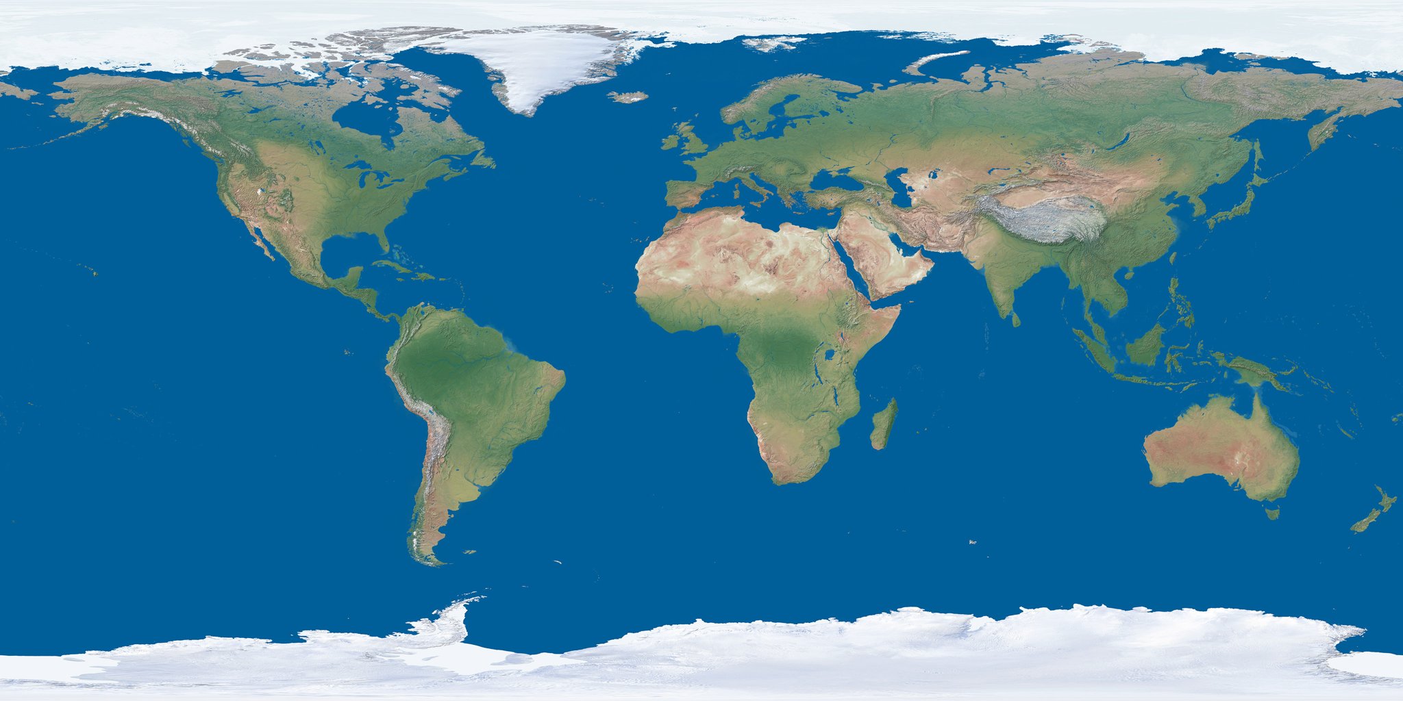
NASA real-colour Earth: oceans, vegetation, deserts and polar ice

SUBJECT 02 · 15 CHAPTERS

Physical Geography

Earth in Perspective: tectonics, atmosphere, oceans, biodiversity and global landscapes.

Explore the 3D map index →
NASA real-colour Earth: world farming, transport and industry study globe

SUBJECT 03 · 19 CHAPTERS

World Economic & Human Geography

World farming systems, transcontinental railways, sea routes, canals, minerals and industrial regions.

Explore the 3D map index →
10°N15°N20°N25°N30°N35°N70°E75°E80°E85°E90°E95°EPuducherryMahārāshtraNāgālandLakshadweepUttar PradeshTamil NāduChhattīsgarhGujarātDelhiSikkimTripuraWest BengalOdishaBihārLadākhRājasthānTelangānaAndhra PradeshMizoramArunāchal PradeshMeghālayaJhārkhandAssamManipurKarnātakaUttarākhandDādra and Nagar Haveli and Damān and DiuMadhya PradeshGoaKeralaChandīgarhAndaman and Nicobar IslandsHimāchal PradeshJammu and KashmīrPunjabHaryānaKaziranga National ParkGir National ParkSundarbans National ParkKeoladeo National ParkSilent Valley National ParkWular LakeSambhar LakeHarike WetlandBhoj WetlandDeepor BeelVembanad–Kol WetlandPichavaram MangroveARABIAN SEABAY OF BENGALPRAGNYA IAS · WGS84 · EDUCATIONAL REFERENCE

SUBJECT 04 · 15 CHAPTERS

Environment & Ecology

National parks, tiger and elephant reserves, Ramsar wetlands, biodiversity hotspots, mangroves and forest cover of India.

Open the India map index →

Interactive India Atlas

Sourced regional layers, searchable locations and blank-map practice.

Explore India →

Free UPSC daily current affairs quiz — 10 questions, new every day at 8 am IST.

Call nowWhatsApp