
Karnataka
Southern India
Karnataka: State to seek Ninth Schedule protection for enhanced SC/ST quota law
Karnataka is a southern Indian state extending from the Arabian Sea coast across the Western Ghats to the Deccan Plateau. Bengaluru is its capital.
Position matched with OpenStreetMap; the dashed outline shows its mapped extent. Other numbered pins are the day's other places — tap one to open it.
Why in the news
Karnataka plans to write to the Prime Minister seeking inclusion of its enhanced SC/ST reservation law in the Ninth Schedule. The move follows the High Court's decision to quash the law.
Read the full analysis: Karnataka’s SC/ST Quota: Ninth Schedule Protection and Judicial ReviewCapital
Bengaluru
Country
India
Coastal sea
Arabian Sea
Highest peak
Mullayanagiri
Major rivers
Krishna, Cauvery, Tungabhadra and Sharavathi
Official language
Kannada
Location
- Lies in southern peninsular India, with the Arabian Sea along its western coast.
- Borders Goa and Maharashtra to the north and north-west, and Telangana and Andhra Pradesh towards the east and north-east.
- Adjoins Tamil Nadu to the south-east and Kerala to the south-west.
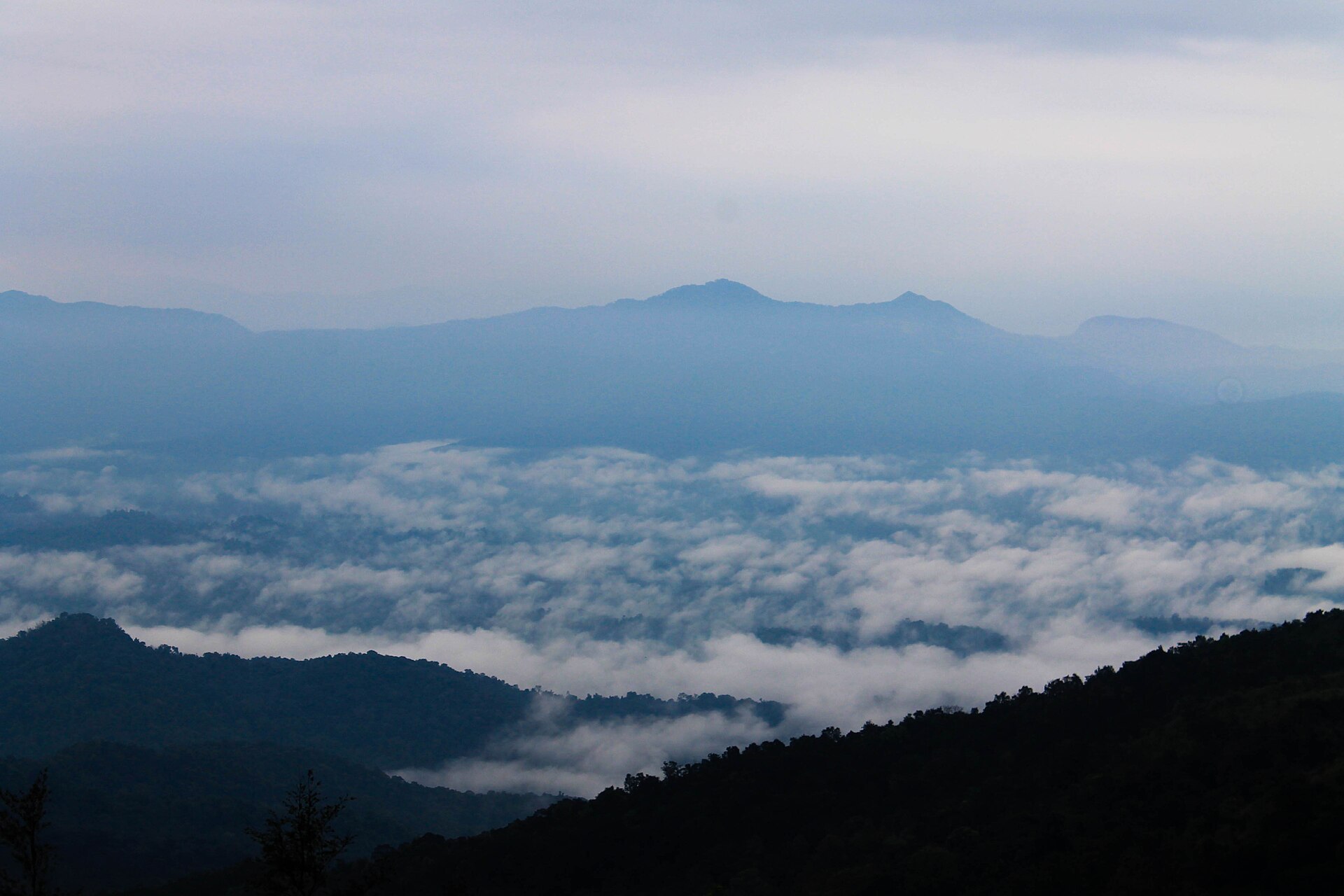
- The Western Ghats separate its coastal belt from much of the interior plateau.
Bordering states
- Goa
- Maharashtra
- Telangana
- Andhra Pradesh
- Tamil Nadu
- Kerala
Key features
- Coastal belt
- A narrow coastal plain lies between the Arabian Sea and the Western Ghats.
- Malnad
- The hilly, high-rainfall belt associated with the Western Ghats forms a major physiographic region.
- Maidan
- The interior plateau forms part of the Deccan Plateau and is generally drier than the coast and Ghats.
- River systems
- The Krishna and Cauvery systems drain much of the interior towards the Bay of Bengal; shorter coastal rivers flow west.
- Highest peak
- Mullayanagiri, in Chikkamagaluru district, is Karnataka's highest peak.
- Jog Falls
- The Sharavathi River forms Jog Falls before flowing towards the Arabian Sea.
Flora, fauna & ecology
- Western Ghats biodiversity
- Karnataka contains part of the Western Ghats biodiversity hotspot, with evergreen and semi-evergreen forests in wetter areas.
- Rainfall contrast
- The coast and windward Ghats receive heavy south-west monsoon rainfall, while the interior lies partly in the rain shadow.
- Wildlife landscapes
- Bandipur and Nagarahole support elephants and tigers and form part of the Nilgiri Biosphere Reserve.
History & significance
- The enlarged Mysore State was formed through linguistic reorganisation in 1956.
- Mysore State was renamed Karnataka in 1973.
- Hampi, on the Tungabhadra, preserves the remains of the Vijayanagara capital.
UPSC angle
- Locate Karnataka's six neighbouring states and distinguish its Arabian Sea coastline from India's eastern coast.
- Compare the coastal plain, Malnad and Maidan in terms of relief, monsoon rainfall and vegetation.
- Trace the Krishna–Tungabhadra and Cauvery systems and distinguish them from west-flowing rivers such as the Sharavathi.
- Link the news to reservation policy, Article 31B and the Ninth Schedule; inclusion does not provide absolute immunity from judicial review.
Also locate on your map
- Western Ghats
- Talakaveri
- Jog Falls
- Hampi
- Bandipur National Park
- Nagarahole National Park
- Mullayanagiri
Test yourself
Q1. Which of the following states does NOT share a boundary with Karnataka?
Q2. Consider the following statements about Karnataka: 1. The Western Ghats lie between its coastal plain and much of its interior plateau. 2. The Sharavathi flows west towards the Arabian Sea. 3. The Cauvery originates at Talakaveri in Karnataka. Which of the statements given above are correct?
Sources
Background maps and imagery © Esri and partners (English labels); place positions checked with OpenStreetMap (ODbL). Boundaries are for study reference only. Prepared by Pragnya IAS Academy for exam revision.