
Estonia
Northern Europe, eastern Baltic coast
Estonia: Plans to close Russian border crossings after attempted arson
Estonia is the northernmost of the three Baltic states in Northern Europe. Its territory includes a low-lying mainland and numerous islands in the Baltic Sea.
Position matched with OpenStreetMap; the dashed outline shows its mapped extent. Other numbered pins are the day's other places — tap one to open it.
Why in the news
Estonia announced plans to close Russian border crossings following an attempted arson attack on drone manufacturer Threod Systems. Estonian authorities detained eight suspects and said the attack had been ordered by Russia’s GRU military intelligence service.
Capital
Tallinn
Largest island
Saaremaa
Highest point
Suur Munamägi
Border river
Narva
Shared lake
Lake Peipus
Regional grouping
Baltic states, alongside Latvia and Lithuania
Location
- Lies on the eastern side of the Baltic Sea, south of Finland across the Gulf of Finland.
- Borders Latvia to the south and Russia to the east.
- The Gulf of Finland lies to its north, while the Gulf of Riga lies to the south-west.
- Tallinn, the capital, stands on the northern coast facing the Gulf of Finland.
Bordering countries
- Latvia
- Russia
Key features
- Glaciated lowlands
- Much of the country consists of low plains shaped by past continental glaciation.
- Baltic islands
- Saaremaa and Hiiumaa are its two largest islands, lying off the western mainland.
- Lake Peipus
- A large freshwater lake shared with Russia, forming part of the eastern frontier.
- Narva River
- Drains Lake Peipus into the Gulf of Finland and forms part of the Estonia–Russia boundary.
- Southern uplands
- The Haanja uplands contain Suur Munamägi, the highest point in the Baltic states.
Flora, fauna & ecology
- Forests and wetlands
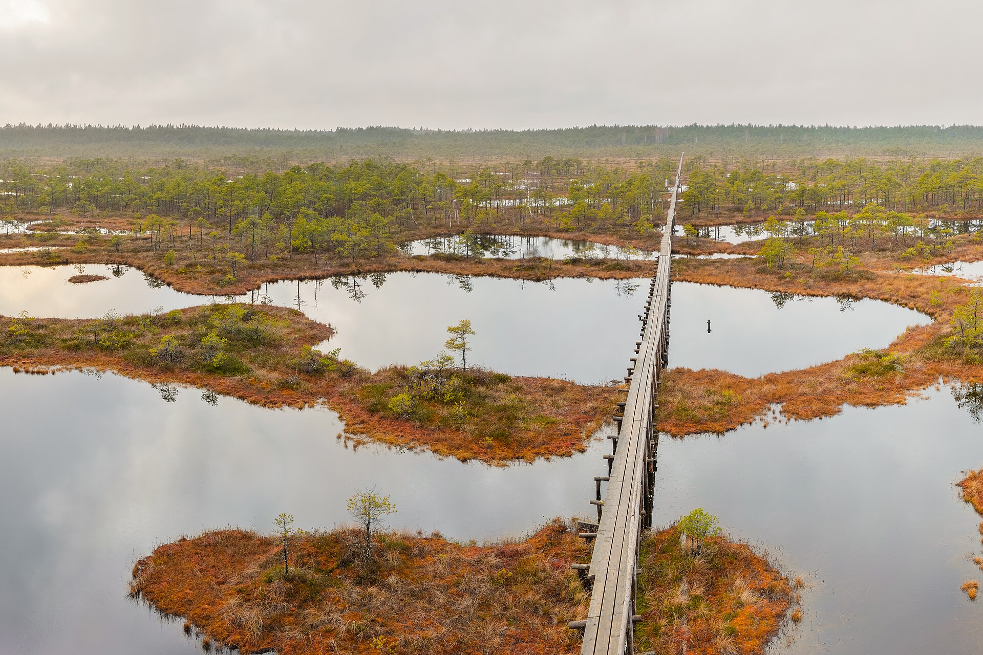
- Mixed forests, peat bogs and lakes are prominent components of Estonia’s landscape.
- Climate
- Temperate conditions reflect a transition between maritime influence along the Baltic coast and more continental conditions inland.
- Coastal habitats
- Shallow bays, coastal meadows and islands provide important habitats for migratory waterbirds.
History & significance
- Restored its independence from the Soviet Union in 1991.
- Joined the European Union and NATO in 2004.
UPSC angle
- Locate the Baltic states and distinguish their land borders from maritime neighbours.
- Trace the Lake Peipus–Narva River–Gulf of Finland drainage connection.
- Link Estonia’s Russian frontier to European security and the eastern borders of the EU and NATO.
- Revise glacial landforms, peatlands and coastal ecosystems of Northern Europe.
Also locate on your map
- Latvia
- Lithuania
- Gulf of Finland
- Gulf of Riga
- Lake Peipus
- Saaremaa
- Hiiumaa
- Narva
Test yourself
Q1. Which of the following pairs comprises all the countries sharing a land boundary with Estonia?
Q2. The Narva River drains Lake Peipus into which of the following water bodies?
Sources
Background maps and imagery © Esri and partners (English labels); place positions checked with OpenStreetMap (ODbL). Boundaries are for study reference only. Prepared by Pragnya IAS Academy for exam revision.