
Sudan
North-eastern Africa
Sudan: Drone warfare expands conflict into previously secure areas
Sudan is a country in north-eastern Africa with a Red Sea coastline. Its geography spans the Sahara, the Nile valley, semi-arid plains and the highlands of Darfur.
Position matched with OpenStreetMap; the dashed outline shows its mapped extent. Other numbered pins are the day's other places — tap one to open it.
Why in the news
The Hindu reports that drone warfare is disrupting supply lines and extending Sudan’s conflict into previously secure areas, increasing risks to civilian infrastructure. A separate report, citing a rights group and a survivor, said an army strike killed 15 people, including children, in Abu Qalb. The Kordofan Observatory reported that the November 15 double-tap strike also injured others and burned homes.
Capital
Khartoum
Continent
Africa
Principal river
Nile
Coastal sea
Red Sea
Major seaport
Port Sudan
Land neighbours
Seven
Location
- Lies south of Egypt in north-eastern Africa, with the Red Sea along its north-eastern coast.
- Borders Libya to the north-west, Chad to the west and the Central African Republic to the south-west.
- South Sudan lies to the south; Ethiopia and Eritrea lie to the south-east and east respectively.
- The White Nile and Blue Nile meet at Khartoum; the combined Nile flows north towards Egypt.
Bordering countries
- Egypt
- Libya
- Chad
- Central African Republic
- South Sudan
- Ethiopia
- Eritrea
Key features
- Nile confluence
- The White Nile and Blue Nile unite at Khartoum to form the main Nile.
- Northern deserts
- The Nubian Desert lies east of the Nile, while the Libyan Desert extends west of it.
- Red Sea margin
- A narrow coastal plain is backed by the Red Sea Hills in eastern Sudan.
- Darfur highlands
- The Jebel Marra volcanic massif rises above the plains of western Sudan.
- Gezira plain
- The plain between the Blue Nile and White Nile is a major irrigated agricultural region.
- Kordofan
- This central-southern region lies west of the White Nile and includes the Nuba Mountains.
Flora, fauna & ecology
- Climatic gradient
- Conditions range from extremely arid in the north to seasonally wetter savanna environments towards the south.
- Dryland vegetation
- Acacia woodlands, thorn scrub and grasslands occur across the semi-arid belt.
- Marine ecosystems
- Sudan’s Red Sea coast supports coral reefs and mangrove habitats.
History & significance
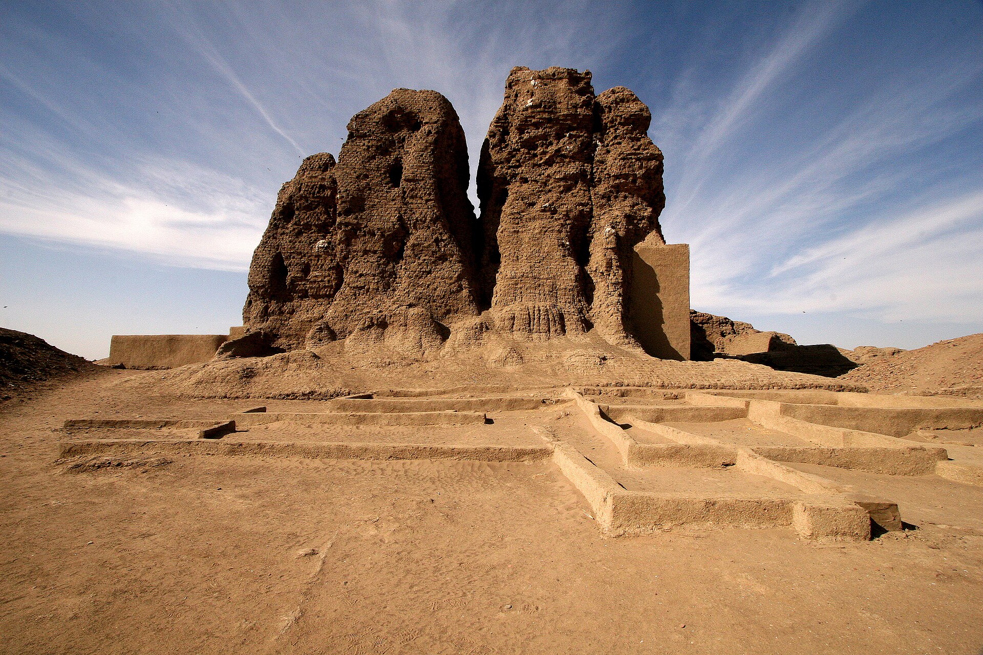
- Ancient Nubia extended across northern Sudan and southern Egypt; Kerma and Meroe were important centres.
- Sudan became independent from Anglo-Egyptian rule in 1956.
- South Sudan became an independent country in 2011, separating from Sudan.
UPSC angle
- Prelims map work: identify Sudan’s seven neighbours and distinguish Sudan from landlocked South Sudan.
- Physical geography: trace the White Nile and Blue Nile to their confluence at Khartoum and the Nile’s onward course into Egypt.
- GS I: relate the Sahara–Sahel climatic transition to vegetation, settlement and agriculture.
- GS II and GS III: connect the reported humanitarian crisis with the changing character of warfare through unmanned systems.
Also locate on your map
- Khartoum
- Port Sudan
- Red Sea
- Lake Nasser
- Jebel Marra
- South Sudan
- Ethiopian Highlands
- Meroe
Test yourself
Q1. Which of the following countries does NOT share a land boundary with Sudan?
Q2. The confluence of the White Nile and Blue Nile is located at:
Sources
- The Hindu: News Analysis | Drone warfare leaves no safe zones in Sudan
- The Hindu: Sudan Army strike kills 15, including children says rights group, survivor
Background maps and imagery © Esri and partners (English labels); place positions checked with OpenStreetMap (ODbL). Boundaries are for study reference only. Prepared by Pragnya IAS Academy for exam revision.