
India
South Asia
India: Moody’s raises FY2026–27 growth forecast to 7%
India is a South Asian country extending from the Himalayas to the Indian Ocean. Its territory includes the Indian peninsula, extensive northern plains and island groups in the Arabian Sea and Bay of Bengal.
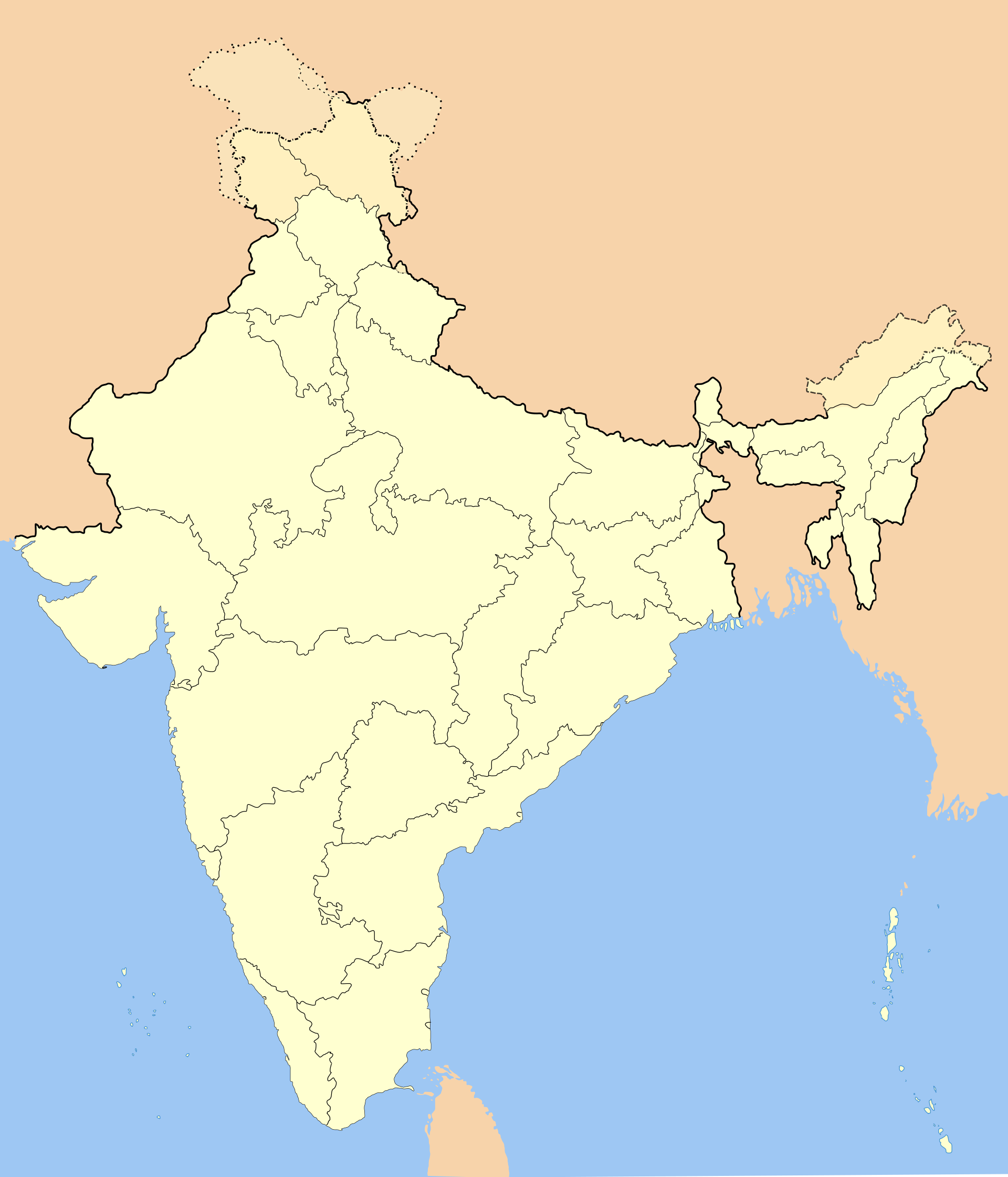
Position matched with OpenStreetMap; the dashed outline shows its mapped extent. Other numbered pins are the day's other places — tap one to open it.
Why in the news
Moody’s raised India’s FY2026–27 growth forecast from 6.5% to 7%, citing broad-based economic momentum. The assessment also highlighted resilience to an energy supply shock.
Read the full analysis: Moody’s Raises India’s FY27 Growth Forecast to 7%: Drivers, Risks and GDP CaveatsCapital
New Delhi
Global area rank
Seventh-largest country
Standard meridian
82°30′ E
Standard time
UTC+5:30
Southernmost point
Indira Point, Great Nicobar Island
Southern tip of mainland
Kanyakumari, Tamil Nadu
Location
- The Indian mainland lies entirely in the Northern and Eastern Hemispheres, with the Tropic of Cancer crossing its central part.
- The Himalayas form its northern mountain rim; the Indian peninsula projects southwards into the Indian Ocean.
- The Arabian Sea lies to the west and the Bay of Bengal to the east.
- Sri Lanka lies southeast of the mainland, across the Palk Strait and Gulf of Mannar.
- Lakshadweep lies in the Arabian Sea; the Andaman and Nicobar Islands lie in the Bay of Bengal.
Surrounding seas and ocean
- Arabian Sea
- Bay of Bengal
- Indian Ocean
Key features
- Himalayas
- Young fold mountains forming India's northern mountain rim and feeding major perennial river systems.
- Northern plains
- Extensive alluvial plains associated with the Indus, Ganga and Brahmaputra river systems.
- Peninsular Plateau
- An ancient crystalline landmass comprising the Central Highlands and Deccan Plateau.
- Indian Desert
- The Thar Desert occupies much of western Rajasthan and extends into Pakistan.
- Coastal plains
- Western coastal plains lie between the Western Ghats and Arabian Sea; eastern plains contain major river deltas.
- Island groups
- Lakshadweep consists of coral islands, while the Andaman and Nicobar chain forms part of an island-arc system.
Flora, fauna & ecology
- Monsoon climate
- Seasonal wind reversal shapes rainfall, with the southwest monsoon supplying most annual precipitation.
- Ecosystem diversity
- Habitats range from Himalayan alpine vegetation and arid scrub to tropical forests, mangroves and coral reefs.
- Mangroves
- The Sundarbans occupy part of the Ganga–Brahmaputra–Meghna delta shared by India and Bangladesh.
- Biodiversity hotspots
- Parts of India fall within the Himalaya, Indo-Burma, Western Ghats–Sri Lanka and Sundaland biodiversity hotspots.
UPSC angle
- Physical geography: distinguish India's major physiographic divisions and their geological origins.
- Climatology and agriculture: connect monsoon variability with cropping patterns, water availability and economic activity.
- Economic geography: relate energy-import exposure to ports, shipping routes and the Strait of Hormuz.
- Map-based questions: locate the Tropic of Cancer, island groups, neighbouring waters and major river systems.
Also locate on your map
- Sri Lanka
- Maldives
- Strait of Hormuz
- Strait of Malacca
- Lakshadweep
- Andaman and Nicobar Islands
- Palk Strait
Test yourself
Q1. Which of the following pairs of Indian rivers both drain into the Arabian Sea?
Q2. Consider the following statements about India's island geography: 1. Lakshadweep lies in the Arabian Sea. 2. The Ten Degree Channel separates the Andaman Islands from the Nicobar Islands. 3. Indira Point lies on Little Andaman Island. Which of the statements given above are correct?
Sources
Background maps and imagery © Esri and partners (English labels); place positions checked with OpenStreetMap (ODbL). Boundaries are for study reference only. Prepared by Pragnya IAS Academy for exam revision.