
Nepal
Himalayas, South Asia
Nepal: Seeks recognition of mountain vulnerability at COP31
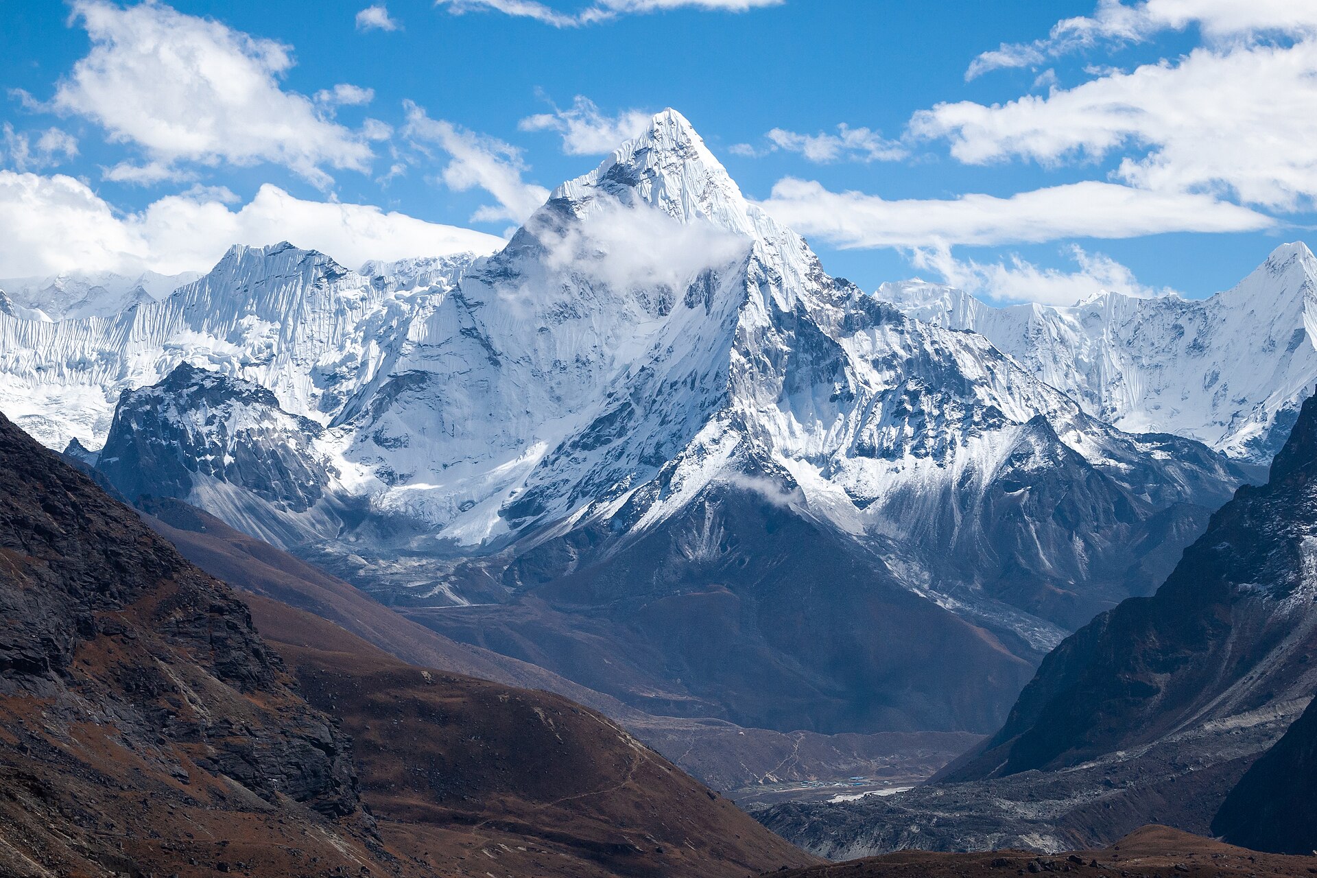
Nepal is a landlocked South Asian country situated mainly along the southern slopes of the Himalayas. Its terrain rises from the low-lying Terai to the world's highest mountain, Mount Everest, on the border with China.
Position matched with OpenStreetMap; the dashed outline shows its mapped extent. Other numbered pins are the day's other places — tap one to open it.
Why in the news
Nepal joined Bhutan and Kyrgyzstan in seeking recognition of mountain vulnerability during COP31 climate negotiations. According to the supplied news headline citing Nepal's Foreign Minister, the Himalayas agenda was left off the formal list as major blocs withheld support.
Read the full analysis: COP31: Climate Finance, Clean Electrification and Himalayan Climate JusticeCapital
Kathmandu
Country type
Landlocked
Highest point
Mount Everest, also called Sagarmatha
Major drainage basin
Ganga basin
Indian border states
Uttarakhand, Uttar Pradesh, Bihar, West Bengal and Sikkim
Major mountain system
Himalayas
Location
- Lies between India to the south, east and west and China's Tibet Autonomous Region to the north.
- Extends across the central Himalayan region, north of the Gangetic plains.
- Borders five Indian states: Uttarakhand, Uttar Pradesh, Bihar, West Bengal and Sikkim.
- Kathmandu lies in an intermontane valley in central Nepal.
Bordering countries
- India
- China
Key features
- Great Himalaya
- The northern high mountain belt contains Mount Everest and extensive snowfields and glaciers.
- Middle mountains
- Ridges, deeply incised river valleys and intermontane basins characterise the country's central hill belt.
- Siwalik foothills
- Young sedimentary hills form the outer Himalayan belt between the middle mountains and the Terai.
- Terai
- Low-lying alluvial plains along the southern border form the northern margin of the Gangetic plains.
- River systems
- The Karnali, Gandaki and Koshi systems drain southwards into the Ganga basin.
- Active tectonics
- Collision between the Indian and Eurasian plates drives Himalayan uplift and makes Nepal highly earthquake-prone.
Flora, fauna & ecology
- Altitudinal zonation
- Vegetation ranges from subtropical forests in the lowlands to temperate forests, alpine meadows and high-altitude ice and rock.
- Monsoon climate
- The summer monsoon supplies much of the rainfall, while areas north of major mountain barriers experience rain-shadow conditions.
- Wildlife
- Lowland protected areas support greater one-horned rhinoceroses and tigers; high Himalayan habitats support snow leopards.
- Mountain hazards
- Glacial lake outburst floods and landslides threaten settlements, infrastructure and downstream river valleys.
History & significance
- Lumbini in southern Nepal is the birthplace of Siddhartha Gautama, the Buddha.
UPSC angle
- Prelims map work: identify Nepal's two bordering countries and five adjoining Indian states; distinguish it from Bhutan.
- Physical geography: connect Himalayan formation with plate convergence, earthquakes, relief and river incision.
- Environment: examine glacier retreat, glacial lake outburst floods and the vulnerability of mountain ecosystems.
- International relations: link transboundary rivers with India–Nepal cooperation on hydropower and flood management.
- Climate governance: examine how mountain vulnerability and adaptation priorities enter UN climate negotiations.
Also locate on your map
- Bhutan
- Kyrgyzstan
- Tibet Autonomous Region
- Sikkim
- Mount Everest
- Koshi River
- Gandaki River
- Karnali River
Test yourself
Q1. The Karnali, Gandaki and Koshi river systems draining Nepal are associated with which major river basin?
Q2. Which of the following Indian states does NOT share a border with Nepal?
Sources
- The Hindu: COP31 leaders urge focus on climate action despite global conflicts
- The Hindu: Himalayas agenda left off COP31 formal list as major blocs withhold support: Nepal Foreign Minister
- The Hindu: World leaders take stage at COP31 but big names missing
- The Hindu: COP31: Can negotiators finally deliver results? | The Hindu explains
Background maps and imagery © Esri and partners (English labels); place positions checked with OpenStreetMap (ODbL). Boundaries are for study reference only. Prepared by Pragnya IAS Academy for exam revision.