New UPSC Foundation, Optional and TGPSC/APPSC batches are open — book your counselling slot.Today's Current AffairsToday's Daily QuizPlaces in NewsCall 98804 87071

Pragnya GeoPulse · New every morning at 6:00 am IST

GeoPulseUPSC Places in News, mapped

Every place that matters in today's news — seas, straits, rivers, protected areas, mountains, countries and projects — pinned on a live India and world map with its location, neighbours, key features, ecology, UPSC angle and practice MCQs.

4–5 places dailyIndia + WorldMap · Satellite · TerrainPrelims MCQs30-day revision wall

Archive

Thursday, 12 November 2026

2 India3 World
Loading interactive map…

On the map

Tap a pin or a name to zoom in.

1India
Protected Area

National Chambal Sanctuary

Rajasthan–Madhya Pradesh–Uttar Pradesh

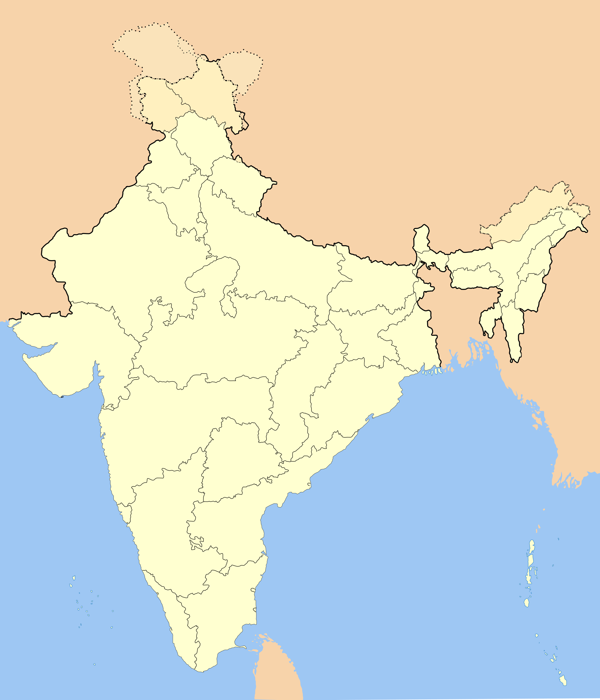
National Chambal Sanctuary: Named in news on proposed sand-mining phase-out roadmap

National Chambal Sanctuary is a riverine wildlife sanctuary extending across parts of Rajasthan, Madhya Pradesh and Uttar Pradesh. It protects Chambal river habitats important for gharials, Gangetic dolphins and riverine birds.

Full map note
Reference view: Locator map of India.
2India
Country

India

South Asia

India: Moody’s raises FY2026–27 growth forecast to 7%

India is a South Asian country extending from the Himalayas to the Indian Ocean. Its territory includes the Indian peninsula, extensive northern plains and island groups in the Arabian Sea and Bay of Bengal.

Full map note
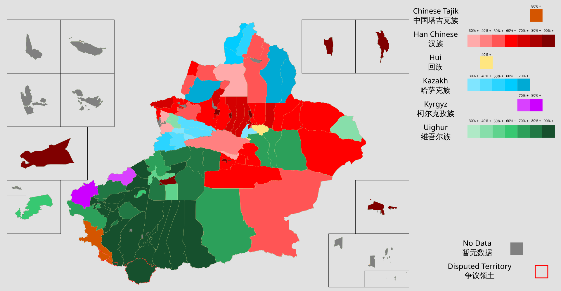
Reference view: county-level ethnic composition map of Xinjiang based on 2018 data.
3World
Region / Territory

Xinjiang

North-western China

Xinjiang: China and Pakistan hold Karakoram-2026 military exercise

Xinjiang Uygur Autonomous Region is a vast inland region in north-western China. High mountain ranges, desert basins and oasis settlements define its physical geography.

Full map note
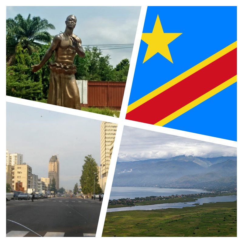
Reference view: A collage featuring Kinshasa city scenes in the Democratic Republic of the Congo.
4World
Country

Democratic Republic of the Congo

Central Africa

Democratic Republic of the Congo: Ebola containment faces conflict and health-system hurdles

The Democratic Republic of the Congo is a large equatorial country in Central Africa, occupying much of the Congo Basin. It extends from a narrow Atlantic coastal outlet to the highlands and Rift Valley lakes of eastern Africa.

Full map note
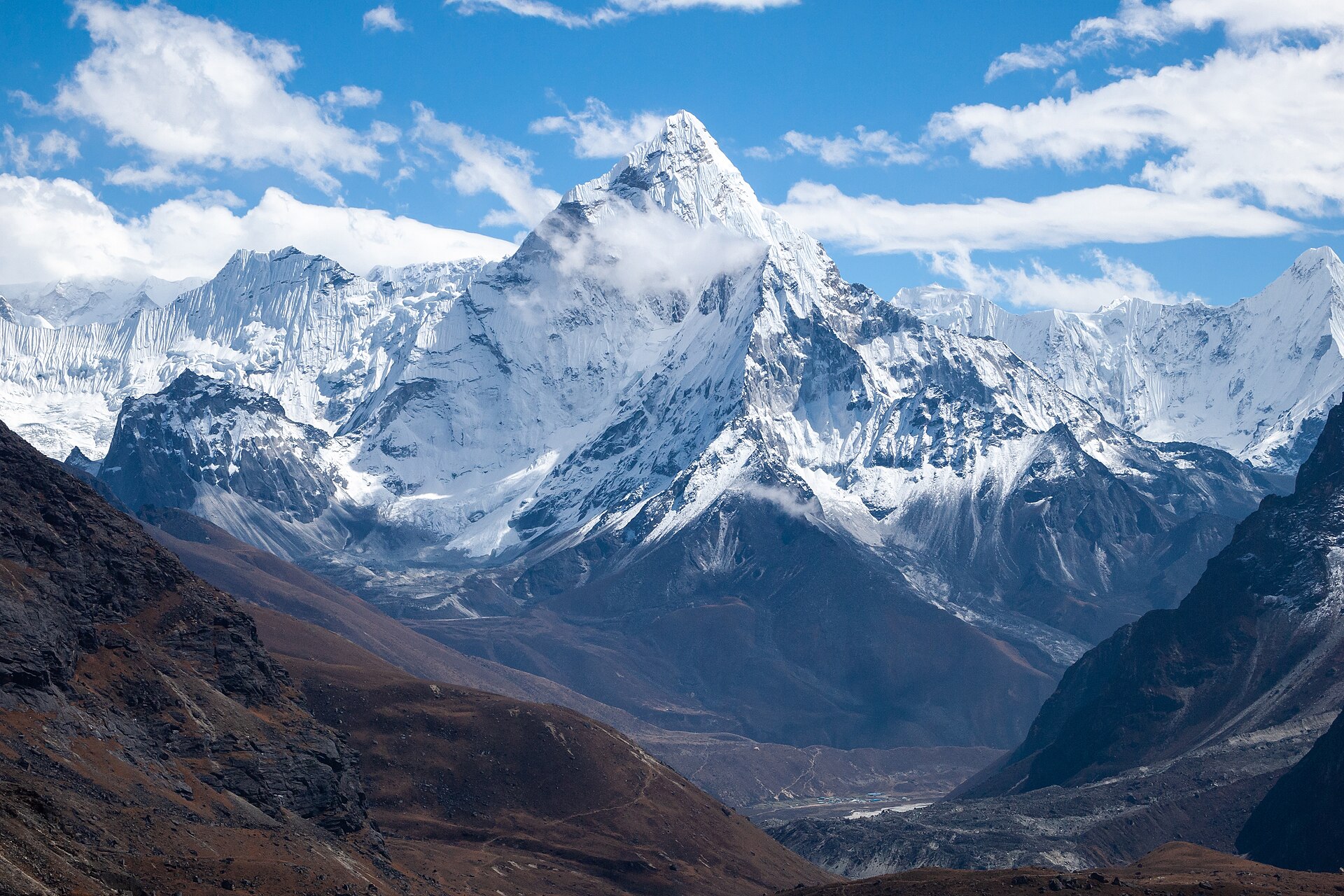
Reference view: Ama Dablam peak seen from Chola Valley in Nepal's Khumbu region.
5World
Country

Nepal

Himalayas, South Asia

Nepal: Seeks recognition of mountain vulnerability at COP31

Nepal is a landlocked South Asian country situated mainly along the southern slopes of the Himalayas. Its terrain rises from the low-lying Terai to the world's highest mountain, Mount Everest, on the border with China.

Full map note

Revision wall · last 30 days

Every place in the news this month

Revision game

Can you place it?

Say where it is and what kind of place it is, then flip the card.

About GeoPulse — Places in News

What is GeoPulse — Places in News?
GeoPulse is Pragnya IAS Academy's free daily map page. Every morning, alongside the current affairs edition, 4–5 places from the day's news are explained and plotted on an interactive India and world map.
When are new places added?
New places are published every morning with the 6:00 am IST current affairs job. Use the calendar to open any earlier day.
How are the map positions checked?
Positions are matched against OpenStreetMap. When a reliable match is not available, the page clearly says the position is approximate.
How should I revise places in news for UPSC Prelims?
Locate each place on the map, note its neighbours and physical features, then attempt the practice MCQs. The 30-day revision wall helps you recall places before the exam.

Background maps © Esri and partners (English labels); place positions checked with OpenStreetMap (ODbL). Boundaries shown are for study reference only.

Free UPSC daily current affairs quiz — 10 questions, new every day at 8 am IST.

Call nowWhatsApp