
Indonesia
Southeast Asia and western New Guinea
Indonesia: Wildfire losses could reach $30 billion in 2026
Indonesia is the world’s largest archipelagic country, straddling the Equator between the Indian and Pacific oceans. Its islands span Southeast Asia and extend into western New Guinea.
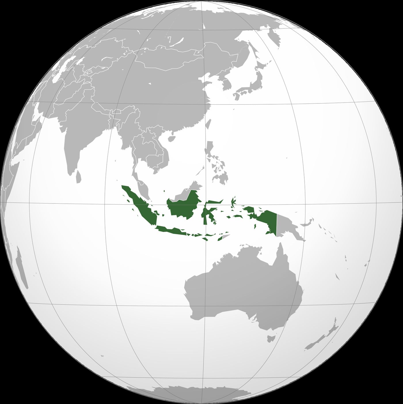
Position matched with OpenStreetMap; the dashed outline shows its mapped extent. Other numbered pins are the day's other places — tap one to open it.
Why in the news
The supplied report, citing the Nusantara Atlas deforestation monitor, states that wildfires burned 7.1 million acres in Indonesia in 2026, with potential economic losses reaching $30 billion. A separate report citing the EU’s Copernicus service says the fires produced nearly 200 million metric tonnes of carbon emissions by November 15, the third-highest annual level on record.
Country type
Archipelagic country
Hemispheres
Northern, Southern and Eastern
Highest point
Puncak Jaya, western New Guinea
Land neighbours
Malaysia, Papua New Guinea and Timor-Leste
Major river
Kapuas, western Kalimantan
Regional grouping
ASEAN
Location
- Straddles the Equator between mainland Southeast Asia and Australia.
- Sumatra lies south-west of the Malay Peninsula, across the Strait of Malacca.
- Java lies south of Borneo; Sulawesi lies east of Borneo.
- Indonesia occupies western New Guinea, adjoining Papua New Guinea to the east.
Land-bordering countries
- Malaysia
- Papua New Guinea
- Timor-Leste
Key features
- Major islands
- Principal island regions include Sumatra, Java, Kalimantan on Borneo, Sulawesi and western New Guinea.
- Sunda Shelf
- Sumatra, Java and Borneo occupy the shallow continental shelf associated with Southeast Asia.
- Sahul Shelf
- New Guinea belongs to the continental shelf system associated with Australia.
- Volcanic and tectonic setting
- Indonesia lies along the Pacific Ring of Fire; subduction south of Sumatra and Java produces frequent earthquakes and volcanism.
- Strategic straits
- Malacca, Sunda and Lombok are important maritime passages linking regional seas with major ocean routes.
- Wallacea
- The island region between the Sunda and Sahul shelves includes Sulawesi, the Moluccas and most of the Lesser Sunda Islands.
Flora, fauna & ecology
- Tropical climate
- An equatorial setting supports extensive rainforests, while monsoonal influences create marked dry seasons in parts of the country.
- Peatlands and fire
- Sumatra and Kalimantan contain extensive tropical peatlands; drained or degraded peat can burn and release stored carbon.
- Biogeographical transition
- The Wallace Line passes between Bali and Lombok and between Borneo and Sulawesi, marking a major faunal transition.
- Distinctive fauna
- Indonesia supports orangutans in Sumatra and Borneo, Komodo dragons in the Lesser Sunda Islands, and birds-of-paradise in New Guinea.
History & significance
- Indonesia proclaimed independence on 17 August 1945.
UPSC angle
- World physical geography: locate the Indonesian archipelago, its shared islands and neighbouring countries.
- Geomorphology and disasters: connect subduction zones with volcanoes, earthquakes and tsunamis.
- Environment: examine peatland carbon storage, wildfire emissions and transboundary haze.
- Biogeography: distinguish the Sunda Shelf, Wallacea and Sahul Shelf; trace the Wallace Line.
- Strategic geography: identify Malacca, Sunda and Lombok straits and their maritime significance.
Also locate on your map
- Strait of Malacca
- Sunda Strait
- Lombok Strait
- Borneo
- Sulawesi
- New Guinea
- Timor
- Andaman and Nicobar Islands
Test yourself
Q1. Which of the following sets includes all the countries sharing a land boundary with Indonesia?
Q2. With reference to Indonesia’s biogeography, consider the following statements: 1. The Wallace Line passes between Bali and Lombok. 2. New Guinea belongs to the Sunda Shelf. Which of the statements given above is/are correct?
Sources
- The Hindu: Economic losses from Indonesia fires could reach $30 billion, research shows
- The Hindu: Indonesian fire emissions third highest on record this year, says EU’s Copernicus
Background maps and imagery © Esri and partners (English labels); place positions checked with OpenStreetMap (ODbL). Boundaries are for study reference only. Prepared by Pragnya IAS Academy for exam revision.