
West Bank
West Asia, Palestinian territories
West Bank: U.K. sanctions settlement builders, warns against E1 project
The West Bank is an occupied Palestinian territory lying west of the Jordan River. Its landscape extends from central limestone highlands to the low-lying Jordan Valley and the Dead Sea.
Position matched with OpenStreetMap; the dashed outline shows its mapped extent. Other numbered pins are the day's other places — tap one to open it.
Why in the news
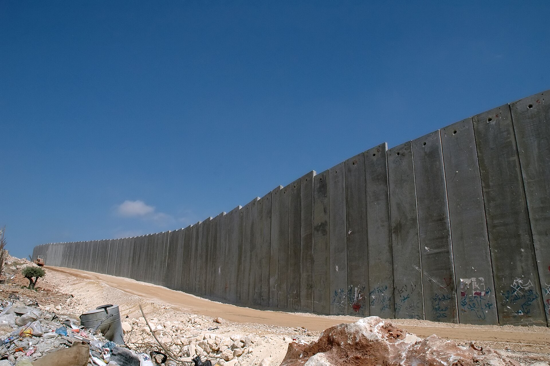
The United Kingdom sanctioned Israeli companies building settlements in the West Bank. Britain warned that the E1 project would effectively cut off eastern Jerusalem from Palestinian population centres in the occupied West Bank, undermining prospects for a viable independent Palestinian state.
Territory
Palestinian territory
Principal river
Jordan River
Eastern lake
Dead Sea
Major cities
Ramallah, Nablus, Hebron and Jericho
Coastline
No open-sea coastline
Location
- Lies in West Asia, west of the Jordan River and east of Israel's coastal plain.
- Borders Israel to the north, west and south, with Jordan across its eastern boundary.
- The Jordan River and the Dead Sea mark its eastern side.
- Jerusalem lies along its western side; E1 is east of Jerusalem, towards the Israeli settlement of Ma'ale Adumim.
Bordering countries
- Israel
- Jordan
Key features
- Central highlands
- A predominantly limestone hill belt includes the uplands around Nablus, Ramallah and Hebron.
- Jordan Valley
- The eastern lowland forms part of the Jordan Rift Valley and lies well below sea level in places.
- Dead Sea margin
- The territory reaches the western shore of the Dead Sea, a highly saline, landlocked lake.
- Eastern slopes
- The central hills descend sharply eastwards through dry slopes and wadis towards the Jordan Valley and Dead Sea.
- E1 corridor
- The area between East Jerusalem and Ma'ale Adumim is geographically significant for Palestinian territorial connectivity.
Flora, fauna & ecology
- Climatic contrast
- The western highlands have Mediterranean climatic influences, while the eastern slopes and Jordan Valley are much drier.
- Vegetation and cultivation
- Mediterranean scrub and olive cultivation characterise parts of the hill country; sparse vegetation occurs in the arid east.
History & significance
- The name 'West Bank' refers to its position west of the Jordan River.
- Israel occupied the West Bank, including East Jerusalem, in the 1967 Arab–Israeli War.
- The Oslo process divided the West Bank into Areas A, B and C, with differing administrative and security arrangements.
UPSC angle
- GS I: Locate the Jordan Rift Valley, Dead Sea and limestone highlands; explain the west-to-east climatic contrast.
- GS II: Link the Israel–Palestine issue with settlements, territorial contiguity and prospects for a two-state solution.
- Prelims: Distinguish the landlocked West Bank from the Mediterranean-facing Gaza Strip.
- Map practice: Locate East Jerusalem, E1 and Ma'ale Adumim in relation to Palestinian population centres.
Also locate on your map
- Jordan River
- Dead Sea
- Jerusalem
- Ma'ale Adumim
- Jericho
- Gaza Strip
- Amman
Test yourself
Q1. Which of the following correctly describes the location of the West Bank?
Q2. Consider the following statements about the West Bank: 1. Its central highlands descend eastwards towards the Jordan Valley. 2. It has a coastline on the Mediterranean Sea. 3. Its eastern slopes are generally drier than its western highlands. Which of the statements given above are correct?
Sources
Background maps and imagery © Esri and partners (English labels); place positions checked with OpenStreetMap (ODbL). Boundaries are for study reference only. Prepared by Pragnya IAS Academy for exam revision.