
South China Sea
Western Pacific, Southeast Asia
South China Sea: China and Southeast Asian countries pledge to avoid disputes
The South China Sea is a marginal sea of the western Pacific Ocean, lying between mainland Southeast Asia and major island groups. It is a key maritime trade corridor with contested islands, reefs and maritime claims.
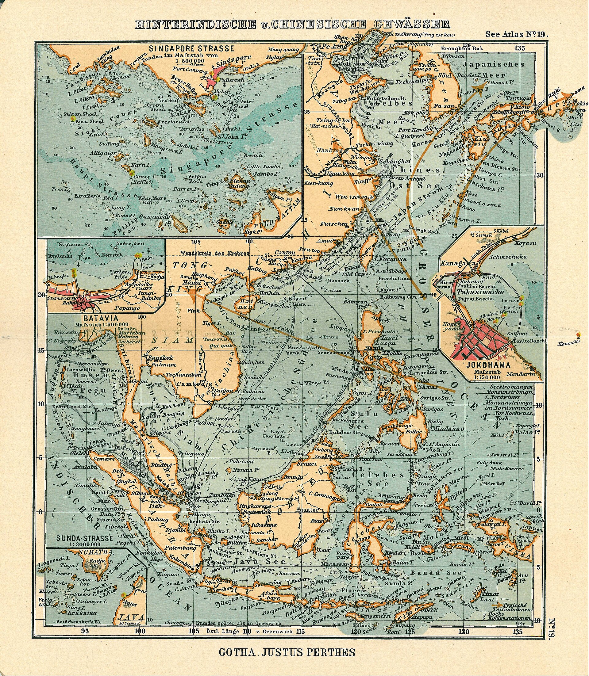
Position matched with OpenStreetMap. Other numbered pins are the day's other places — tap one to open it.
Why in the news
China and Southeast Asian countries pledged to avoid disputes during talks on a pact concerning the South China Sea. The reported territorial standoffs involve China, Taiwan and four ASEAN states—Brunei, Malaysia, the Philippines and Vietnam—in this busy global shipping waterway.
Parent ocean
Pacific Ocean
Sea type
Marginal sea
Major island groups
Paracel Islands and Spratly Islands
North-eastern gateway
Luzon Strait
Major river entering the sea
Mekong
Location
- Lies south of China, east of Vietnam and west of the Philippines.
- Bounded to the south by Borneo and the southern part of the Malay Peninsula; Taiwan lies near its north-eastern entrance.
- Connects with the Philippine Sea through the Luzon Strait between Taiwan and Luzon.
Surrounding land areas
- Southern China
- Vietnam
- Malay Peninsula
- Borneo
- Palawan
- Luzon
- Taiwan
Key features
- Ocean setting
- A semi-enclosed marginal sea forming part of the western Pacific Ocean.
- Seafloor relief
- Broad continental shelves, especially in the south, contrast with a deep central basin.
- Island groups
- The Paracel and Spratly groups include small islands, reefs and other maritime features.
- Northern embayment
- The Gulf of Tonkin lies between northern Vietnam and southern China, west of Hainan.
- Southern embayment
- The Gulf of Thailand opens into the south-western part of the sea.
- Shipping connections
- The Singapore and Malacca straits form a major route between the South China Sea and the Indian Ocean.
Flora, fauna & ecology
- Coral ecosystems
- Coral reefs around islands and submerged features support diverse marine life and fisheries.
- Coastal habitats
- Mangroves and seagrass beds occur along many surrounding tropical coasts.
- Monsoon influence
- Seasonally reversing monsoon winds influence surface circulation and rainfall.
History & significance
- The sea has long formed part of maritime trading networks linking China, Southeast Asia and the Indian Ocean.
UPSC angle
- Prelims mapping: identify surrounding landmasses, the Paracel and Spratly groups, and the Luzon, Singapore and Malacca straits.
- GS I: study marginal seas, continental shelves, coral reefs and monsoon-driven ocean circulation.
- GS II: connect China–ASEAN relations and maritime disputes with UNCLOS and the distinction between territorial sovereignty and maritime entitlements.
- GS III: examine shipping-route security, fisheries, marine biodiversity and the strategic importance of maritime chokepoints.
Also locate on your map
- Paracel Islands
- Spratly Islands
- Scarborough Shoal
- Luzon Strait
- Strait of Malacca
- Hainan
- Gulf of Tonkin
- Gulf of Thailand
Test yourself
Q1. Which strait connects the South China Sea with the Philippine Sea?
Q2. Consider the following statements about the South China Sea: 1. Borneo lies along its southern margin. 2. The Gulf of Tonkin lies west of Hainan. 3. The Mekong drains into it. Which of the statements given above are correct?
Sources
Background maps and imagery © Esri and partners (English labels); place positions checked with OpenStreetMap (ODbL). Boundaries are for study reference only. Prepared by Pragnya IAS Academy for exam revision.