
Rakhine State
Western Myanmar
Rakhine State: Reports cite ICJ ruling on genocide against Rohingya
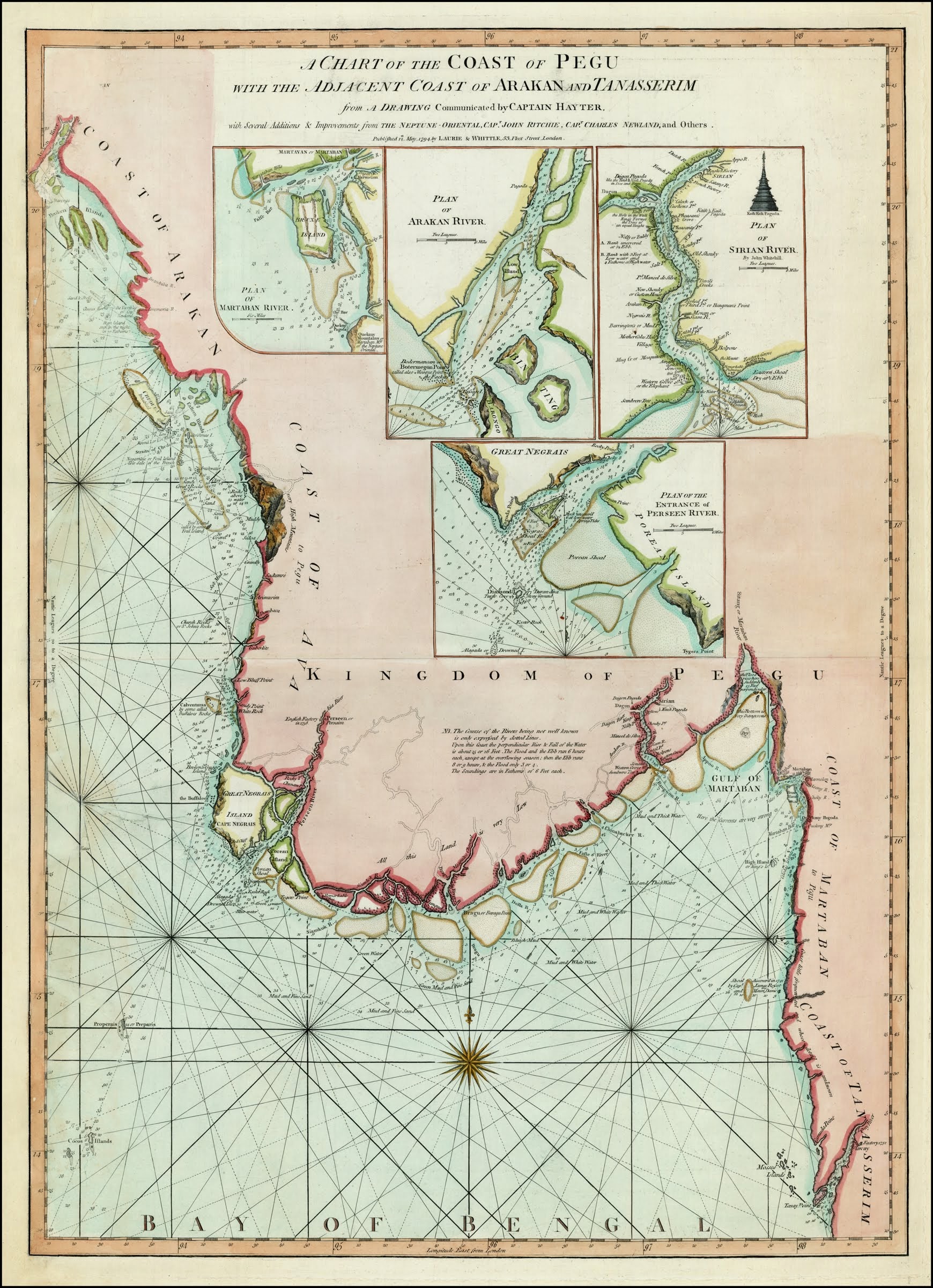
Rakhine is a coastal state in western Myanmar, facing the Bay of Bengal. The Arakan Yoma separates its coastal lowlands from much of Myanmar’s interior.
Position matched with OpenStreetMap. Other numbered pins are the day's other places — tap one to open it.
Why in the news
The supplied reports state that the International Court of Justice held Myanmar responsible for genocide against the Rohingya in northern Rakhine State. The coverage also discusses Rohingya identity, international accountability and the refugee crisis.
Read the full analysis: ICJ Rohingya Genocide Ruling: State Responsibility, Enforcement and Safe ReturnCountry
Myanmar
Administrative status
State
Capital
Sittwe
Historical name
Arakan
Coastal water body
Bay of Bengal
International land neighbour
Bangladesh
Location
- Lies along Myanmar’s western coast on the eastern side of the Bay of Bengal.
- Borders Bangladesh to the north-west and Chin State to the north.
- Adjoins Magway and Bago regions towards the east and Ayeyarwady Region towards the south.
- The Naf River forms part of the Bangladesh–Myanmar boundary along northern Rakhine.
- Sittwe, the state capital, lies at the mouth of the Kaladan River.
Land neighbours
- Bangladesh
- Chin State
- Magway Region
- Bago Region
- Ayeyarwady Region
Key features
- Arakan Yoma
- A predominantly north–south mountain belt separating the Rakhine coast from the central Myanmar lowlands.
- Coastal lowlands
- Narrow plains, river valleys and estuaries lie between the mountains and the Bay of Bengal.
- Kaladan River
- Flows through western Myanmar and India’s Mizoram before reaching the Bay of Bengal at Sittwe.
- Naf River
- A boundary river between Bangladesh and Myanmar that opens into the Bay of Bengal.
- Offshore islands
- Ramree and Cheduba are prominent islands off the Rakhine coast.
Flora, fauna & ecology
- Monsoon climate
- The coast receives heavy seasonal rainfall associated with the southwest monsoon.
- Coastal ecosystems
- Estuaries and sheltered coastal areas support mangroves and tidal wetlands.
- Coastal hazards
- Its Bay of Bengal frontage exposes coastal settlements to tropical cyclones and storm surges.
History & significance
- Mrauk-U was the capital of a historical Arakan kingdom and retains important Buddhist monuments.
UPSC angle
- Prelims map work: distinguish Rakhine on Myanmar’s western coast from the country’s eastern and southern coastal regions.
- Physical geography: connect the Arakan Yoma, coastal plains, river estuaries and offshore islands.
- GS II: locate the Rohingya crisis within India’s neighbourhood and examine international judicial accountability.
- Regional connectivity: link Sittwe and the Kaladan River with the Kaladan Multi-Modal Transit Transport Project connecting India and Myanmar.
- GS I and GS III: study monsoon rainfall, cyclone exposure, mangroves and coastal vulnerability.
Also locate on your map
- Sittwe
- Mrauk-U
- Kyaukpyu
- Ramree Island
- Naf River
- Cox’s Bazar
- Mizoram
- Arakan Yoma
Test yourself
Q1. Which country shares an international land boundary with Myanmar’s Rakhine State?
Q2. Consider the following statements about Rakhine State: 1. It faces the Bay of Bengal. 2. The Arakan Yoma separates its coastal belt from central Myanmar. 3. Sittwe lies at the mouth of the Kaladan River. Which of the statements given above are correct?
Sources
- The Hindu: Rohingya a ‘distinct lineage’ close to Bangladeshis and Burmese: Study
- The Hindu: The Rohingya question: International solidarity, accountability and the missing road home
- The Hindu: Myanmar guilty of genocide against Rohingya, says top UN court
- The Hindu: Top UN court finds that Myanmar committed genocide against Rohingya: Refugee crisis, timeline of the case, and more
Background maps and imagery © Esri and partners (English labels); place positions checked with OpenStreetMap (ODbL). Boundaries are for study reference only. Prepared by Pragnya IAS Academy for exam revision.