
Visakhapatnam
Coastal Andhra Pradesh
Visakhapatnam: Google AI data centre construction raises farmers’ land and job concerns
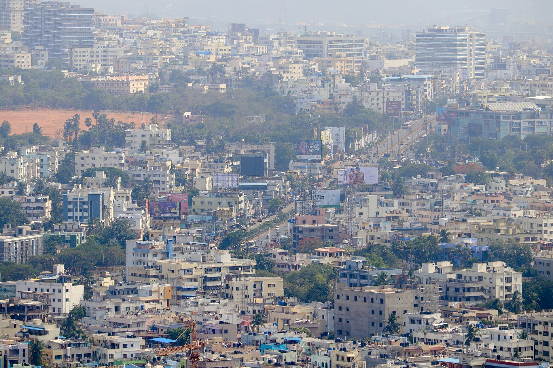
Visakhapatnam is a major port and industrial city on Andhra Pradesh’s Bay of Bengal coast. Its coastal setting combines beaches, rocky headlands and hills associated with the Eastern Ghats.
Position matched with OpenStreetMap. Other numbered pins are the day's other places — tap one to open it.
Why in the news
The Hindu reports that construction of hyperscale Google AI data centres is progressing in Visakhapatnam, with attention focused on Tarluvada. Farmers say promised land and jobs have not materialised, bringing land acquisition and livelihood concerns into focus.
State
Andhra Pradesh
Popular name
Vizag
Sea
Bay of Bengal
Hill system
Eastern Ghats
Naval significance
Headquarters of the Indian Navy’s Eastern Naval Command
Location
- Located on India’s eastern coast in north-eastern Andhra Pradesh, facing the Bay of Bengal.
- Lies north-east of Kakinada and south-west of Srikakulam along the coastal belt.
- The Eastern Ghats lie inland, with hills extending close to the coast around the city.
- Bheemunipatnam lies to the north-east along the coast.
Nearby cities
- Vizianagaram
- Srikakulam
- Kakinada
Key features
- Coastal physiography
- An undulating coastal landscape where hills approach the Bay of Bengal.
- Natural harbour
- Visakhapatnam’s sheltered harbour supports a major seaport on India’s eastern coast.
- Dolphin’s Nose
- A prominent rocky headland overlooking the sea near the harbour entrance.
- Coastal hills
- Kailasagiri and Simhachalam are prominent hills in and around the city.
- Beaches
- Ramakrishna Beach and Rushikonda Beach are notable stretches of the city’s coastline.
Flora, fauna & ecology
- Climate
- A tropical coastal climate with high humidity and maritime influence.
- Cyclone exposure
- Its Bay of Bengal location exposes the city to tropical cyclones, heavy rainfall and storm surges.
- Marine ecosystem
- Coastal waters support marine fisheries and fishing livelihoods.
- Hill vegetation
- Nearby Eastern Ghats hills support tropical deciduous vegetation and scrub.
UPSC angle
- Physical geography: locate the Eastern Ghats, Bay of Bengal coastline, rocky headlands and natural harbours.
- Economic geography: examine port-led industrialisation and the location of digital infrastructure.
- Land resources and development: connect land acquisition with rehabilitation, employment commitments and livelihood security.
- Disaster management: assess cyclone and storm-surge risks to coastal cities and critical infrastructure.
Also locate on your map
- Bheemunipatnam
- Kakinada
- Vizianagaram
- Araku Valley
- Borra Caves
- Gangavaram Port
- Dolphin’s Nose
Test yourself
Q1. Which of the following correctly describes the geographical setting of Visakhapatnam?
Q2. Dolphin’s Nose, associated with Visakhapatnam, is best described as:
Sources
Background maps and imagery © Esri and partners (English labels); place positions checked with OpenStreetMap (ODbL). Boundaries are for study reference only. Prepared by Pragnya IAS Academy for exam revision.