New UPSC Foundation, Optional and TGPSC/APPSC batches are open — book your counselling slot.Today's Current AffairsToday's Daily QuizPlaces in NewsCall 98804 87071

Pragnya GeoPulse · New every morning at 6:00 am IST

GeoPulseUPSC Places in News, mapped

Every place that matters in today's news — seas, straits, rivers, protected areas, mountains, countries and projects — pinned on a live India and world map with its location, neighbours, key features, ecology, UPSC angle and practice MCQs.

4–5 places dailyIndia + WorldMap · Satellite · TerrainPrelims MCQs30-day revision wall

Archive

Sunday, 15 November 2026

2 India3 World
Loading interactive map…

On the map

Tap a pin or a name to zoom in.

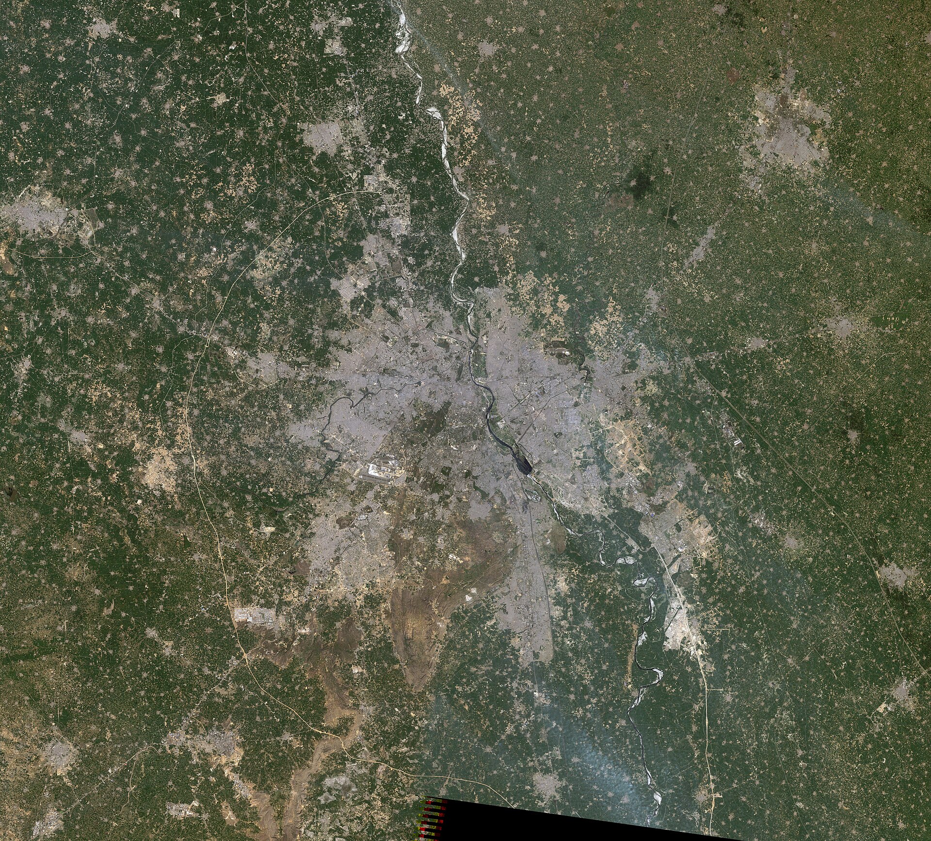
Reference view: Landsat-5 satellite image of the Delhi metropolitan region, showing its urban footprint and surrounding landscape.
1India
Region / Territory

Delhi–National Capital Region

Northern India

Delhi–National Capital Region: Centre calls for coordinated air-pollution enforcement

The National Capital Region (NCR) is an inter-state planning region comprising the National Capital Territory of Delhi and parts of Haryana, Uttar Pradesh and Rajasthan. It extends beyond Delhi’s administrative boundary and continuous urban area.

Full map note
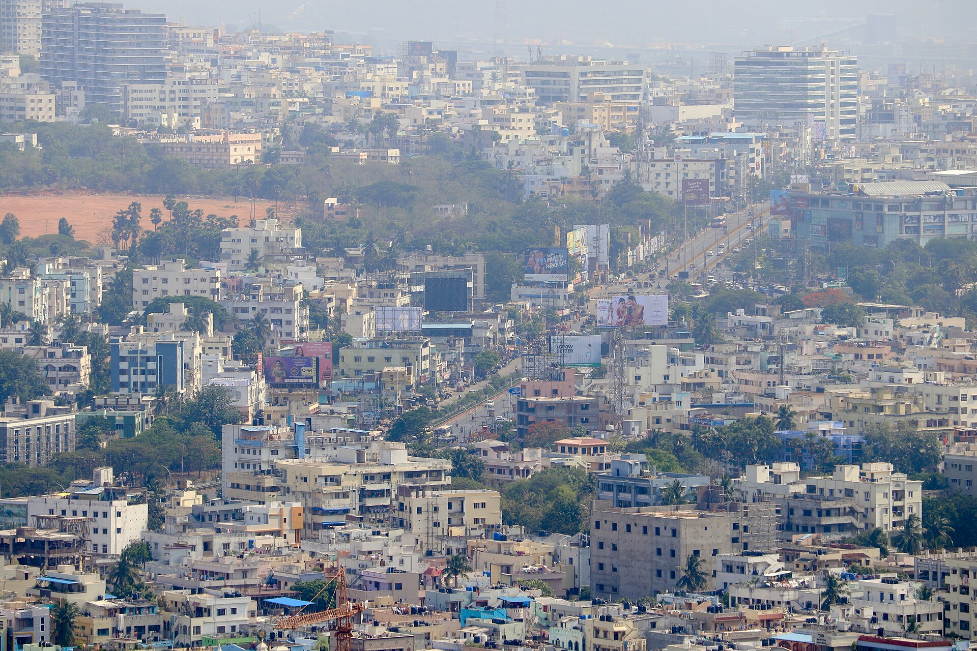
Reference view: Andhra University and Maddilapalem in Visakhapatnam, seen from Kailasagiri.
2India
City / Town

Visakhapatnam

Coastal Andhra Pradesh

Visakhapatnam: Google AI data centre construction raises farmers’ land and job concerns

Visakhapatnam is a major port and industrial city on Andhra Pradesh’s Bay of Bengal coast. Its coastal setting combines beaches, rocky headlands and hills associated with the Eastern Ghats.

Full map note
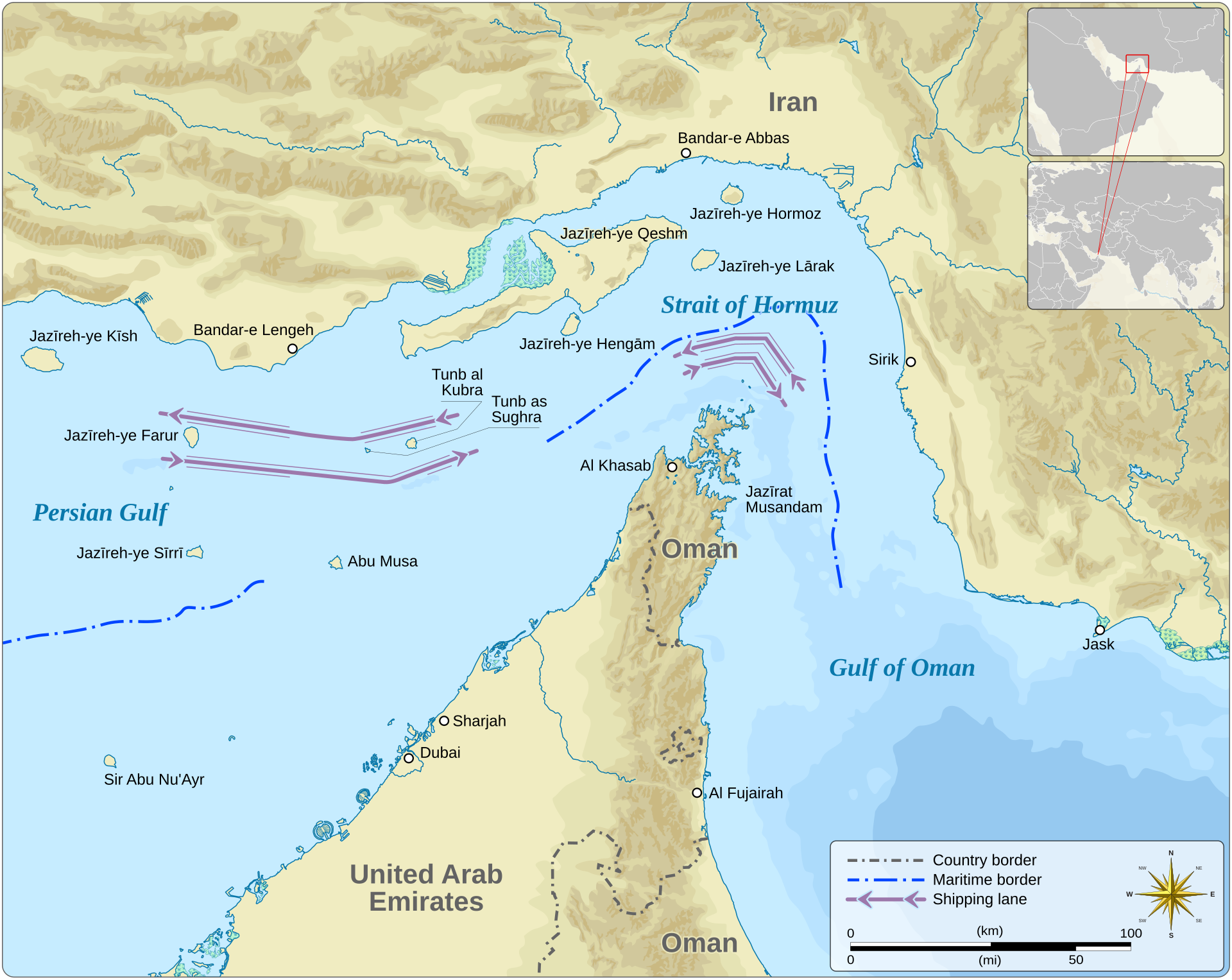
Reference view: Map of the Strait of Hormuz between Iran and Oman, linking the Persian Gulf with the Gulf of Oman.
3World
Strait / Gulf / Bay

Strait of Hormuz

Iran–Oman maritime passage, West Asia

Strait of Hormuz: Shipping threats raise global energy-security concerns

The Strait of Hormuz is a narrow maritime passage between Iran and Oman, connecting the Persian Gulf with the Gulf of Oman. It is a critical chokepoint for international energy shipments.

Full map note
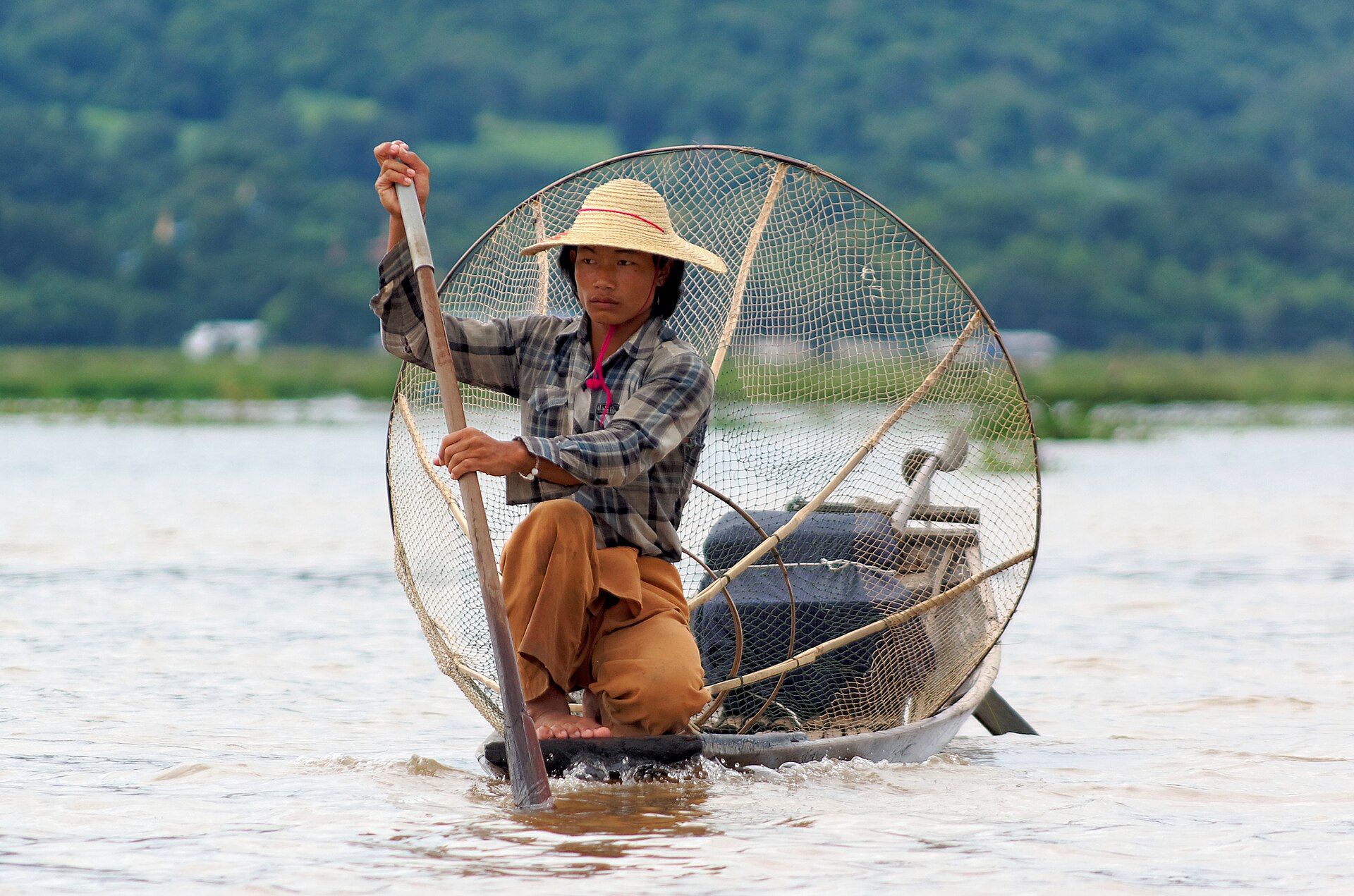
Reference view: A fisherman on Inle Lake in Myanmar’s Shan Plateau.
4World
Country

Myanmar

Mainland Southeast Asia

Myanmar: ASEAN condemns violence, extends ban on its leader

Myanmar is a mainland Southeast Asian country linking South Asia with Southeast Asia. Its landscape includes western mountain ranges, central river plains, the eastern Shan Plateau and a long coastline.

Full map note
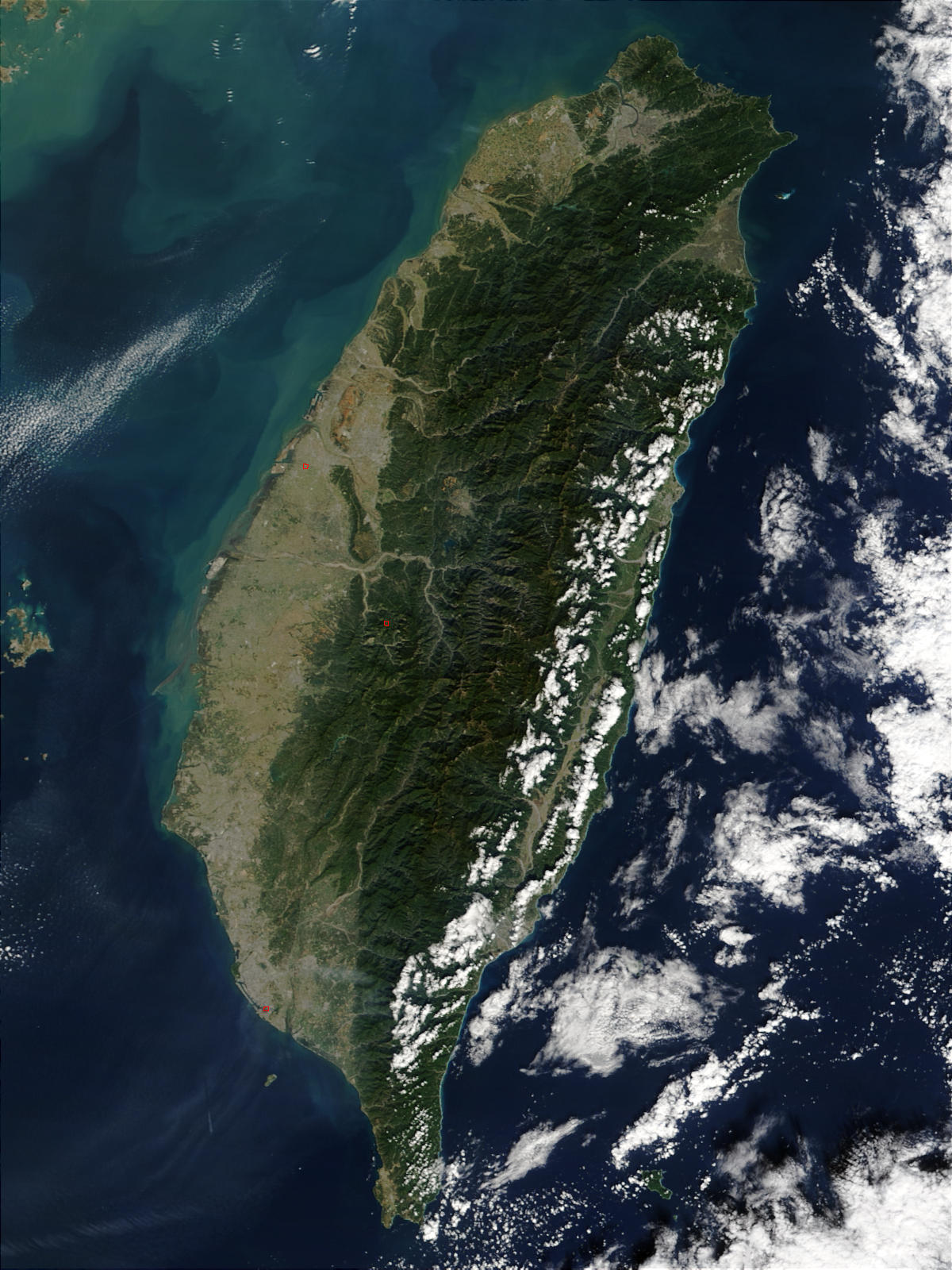
Reference view: NASA Terra MODIS satellite image of Taiwan, showing its mountainous interior and surrounding waters.
5World
Island

Taiwan

East Asia, Western Pacific

Taiwan: Reported visits in spying case spotlight semiconductor and strategic importance

Taiwan is a mountainous island in the western Pacific, separated from mainland China by the Taiwan Strait. It is self-governed, while China claims it as part of its territory.

Full map note

Revision wall · last 30 days

Every place in the news this month

Revision game

Can you place it?

Say where it is and what kind of place it is, then flip the card.

About GeoPulse — Places in News

What is GeoPulse — Places in News?
GeoPulse is Pragnya IAS Academy's free daily map page. Every morning, alongside the current affairs edition, 4–5 places from the day's news are explained and plotted on an interactive India and world map.
When are new places added?
New places are published every morning with the 6:00 am IST current affairs job. Use the calendar to open any earlier day.
How are the map positions checked?
Positions are matched against OpenStreetMap. When a reliable match is not available, the page clearly says the position is approximate.
How should I revise places in news for UPSC Prelims?
Locate each place on the map, note its neighbours and physical features, then attempt the practice MCQs. The 30-day revision wall helps you recall places before the exam.

Background maps © Esri and partners (English labels); place positions checked with OpenStreetMap (ODbL). Boundaries shown are for study reference only.

Free UPSC daily current affairs quiz — 10 questions, new every day at 8 am IST.

Call nowWhatsApp