
InfoGraphix by Pragnya · Geography · Chapter 19
Resources: Land, Agriculture, Minerals, Energy and Water
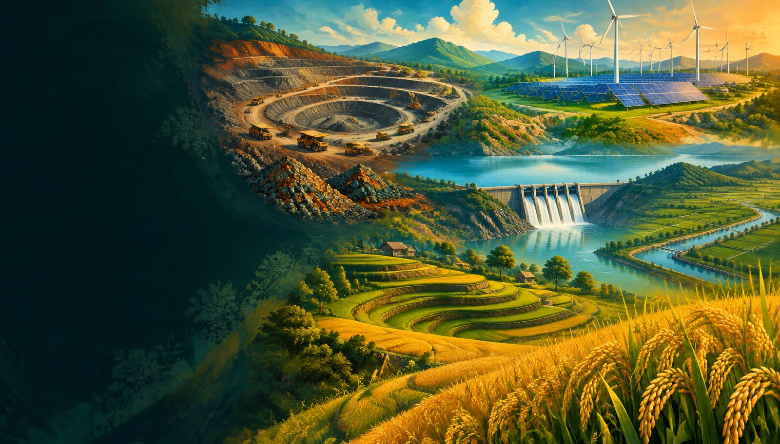
India’s resource geography links rock structure and monsoon climate with livelihoods, infrastructure and ecological limits. Learn where resources occur, why they occur there and how to use them sustainably.
- 18 visual topics
- 54 practice MCQs
- 54 flip cards
Three resource systems
Topics 1–7
Land and farming
Land accounting, seasonal choices, crop geography and agricultural transformation.
Topics 8–14
Minerals and energy
Geology, extraction, fossil fuels and a non-fossil transition.
Topics 15–18
Water and integration
Aquifers, irrigation, river projects and revision.
Milestones in resource management
Scroll the ribbon and tap any milestone to open its infographic.
1774
Raniganj mining
Commercial coal mining begins in the Raniganj region.
Open topic →Mid-1960s
Green Revolution
HYV package expands in irrigated regions.
Open topic →1969
Tarapur
India’s first commercial nuclear power station begins operation.
Open topic →2015–16
Agriculture Census
Benchmark for operational holding size and distribution.
Open topic →2019
Jal Jeevan Mission
Rural household tap-water programme launched.
Open topic →2023
Year of Millets
Global focus on nutrition and resilient cereals.
Open topic →2024
Rooftop solar
PM Surya Ghar launched.
Open topic →2025
Critical minerals
National Critical Mineral Mission approved.
Open topic →2030 goal
Non-fossil capacity
500 GW stated installed-capacity goal.
Open topic →
Topic index
Follow the numbers in order, or jump to what you need.
0 of 18 revised on this device
- 1Land and farming
Land Use and Agricultural Holdings
Land Use and Agricultural Holdings
Land-use statistics describe the reporting area, not necessarily the entire geographical area. Distinguish land cover, annual cultivation and the size of operational holdings.
Open infographic - 2Land and farming
Kharif, Rabi and Zaid
Kharif, Rabi and Zaid
The monsoon sets the main agricultural clock, but irrigation, latitude and crop variety alter local dates. A crop name alone does not always identify one exclusive season.
Open infographic - 3Land and farming
Rice and Wheat
Rice and Wheat
Rice favours warm, wet conditions, whereas wheat needs cool growth followed by dry sunny ripening. Irrigation explains why major output centres can lie outside a crop’s natural rainfall zone.
Open infographic - 4Land and farming
Millets, Pulses and Oilseeds
Millets, Pulses and Oilseeds
Dryland crops diversify diets and spread weather risk, but millets, pulses and oilseeds are not interchangeable. Match each species with its moisture needs and regional production centres.
Open infographic - 5Land and farming
Sugarcane, Cotton and Jute
Sugarcane, Cotton and Jute
Commercial crops connect farms to mills and markets. Their location reflects growing conditions plus transport, processing capacity, labour and water availability.
Open infographic - 6Land and farming
Tea, Coffee and Rubber
Tea, Coffee and Rubber
Plantation crops are geographically concentrated because perennial plants need stable moisture, suitable soils and specialised processing. Tea, coffee and rubber have different temperature and drainage requirements.
Open infographic - 7Land and farming
Green Revolution and Diversification
Green Revolution and Diversification
The Green Revolution raised foodgrain output through an interdependent package rather than seeds alone. Its gains were spatially and socially uneven, making sustainability and diversification central to the next phase.
Open infographic - 8Minerals and energy
Mineral Belts and Geology
Mineral Belts and Geology
Mineral belts follow geological structures, not state borders. Old peninsular rocks concentrate many metallic ores, while sedimentary basins favour coal and hydrocarbons.
Open infographic - 9Minerals and energy
Iron, Manganese, Bauxite and Copper
Iron, Manganese, Bauxite and Copper
Metallic ores have different host rocks, processing requirements and industrial uses. Separate ore occurrences from active production and from downstream smelting centres.
Open infographic - 10Minerals and energy
Non-metallic and Critical Minerals
Non-metallic and Critical Minerals
Industrial minerals support construction and electrical manufacturing, while critical minerals are defined by economic importance and supply risk. A geological resource is not automatically an economically mineable reserve.
Open infographic - 11Minerals and energy
Coalfields and Coal Formation
Coalfields and Coal Formation
Coal formed from buried vegetation transformed by pressure, heat and time. Indian coalfields differ in geological age, coal quality and industrial role; a field’s size depends on the metric used.
Open infographic - 12Minerals and energy
Petroleum and Natural Gas
Petroleum and Natural Gas
Oil and gas accumulate where a mature source rock, migration pathway, porous reservoir and effective seal coincide. Basin age alone cannot guarantee a commercial discovery.
Open infographic - 13Minerals and energy
Nuclear Energy and Fuel Resources
Nuclear Energy and Fuel Resources
Nuclear power is a non-fossil electricity source but not normally classed as renewable. India’s long-term strategy links limited domestic uranium with a thorium-based fuel pathway.
Open infographic - 14Minerals and energy
Solar, Wind and Other Renewables
Solar, Wind and Other Renewables
Renewable resources are widespread but variable in time and place. Energy planning must distinguish installed power capacity, actual generation and the wider non-fossil category.
Open infographic - 15Water security
Water Availability and Groundwater
Water Availability and Groundwater
National averages conceal severe seasonal and basin-level water stress. Water security requires attention to usable supply, aquifer recharge, pollution, access and ecological flows.
Open infographic - 16Water security
Irrigation Systems and Efficiency
Irrigation Systems and Efficiency
Irrigation stabilises yields but can also transfer scarcity between users and seasons. Choose canals, wells, tanks and micro-irrigation according to terrain, aquifer conditions and crops.
Open infographic - 17Water security
Multipurpose River Projects
Multipurpose River Projects
Multipurpose dams combine storage, irrigation, electricity and flood moderation, but benefits and costs occur in different places. River–project matching should be followed by an assessment of basin trade-offs.
Open infographic - 18Revision
Chapter Quick Revision
Chapter Quick Revision
Revise this chapter as a chain: physical endowment → production choice → infrastructure → environmental cost → governance. Use dated statistics and precise river, crop and mineral pairs rather than memorised superlatives.
Open infographic
Full reading notes in the Study Library
- Crop diversification →
- Climate-resilient agriculture →
- Natural farming →
- Irrigation →
- Micro-irrigation →