
Cauvery River
Southern India: Karnataka and Tamil Nadu
Cauvery River: Vasan urges parties to fight for water rights
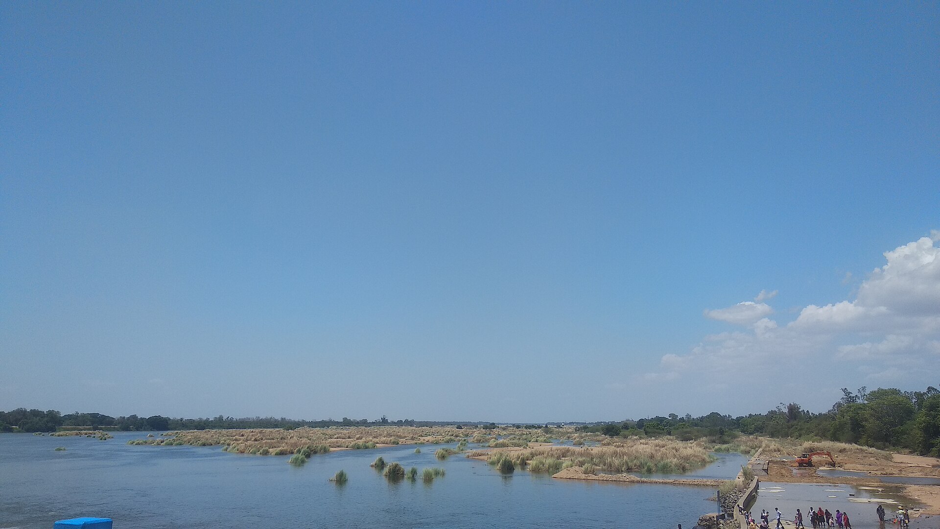
The Cauvery, also spelt Kaveri, is an east-flowing peninsular river originating in the Western Ghats of Karnataka. It flows through Karnataka and Tamil Nadu before entering the Bay of Bengal through its delta.
Position matched with OpenStreetMap. Other numbered pins are the day's other places — tap one to open it.
Why in the news
G.K. Vasan urged political parties to fight for Cauvery water rights. His appeal brings the interstate river-water sharing issue into focus.
Source
Talakaveri, Kodagu district, Karnataka
Source hills
Brahmagiri Hills, Western Ghats
Outfall
Bay of Bengal
Basin jurisdictions
Karnataka, Tamil Nadu, Kerala and the Union Territory of Puducherry
Major distributary
Kollidam (Coleroon)
Major river island
Srirangam, Tamil Nadu
Location
- Rises at Talakaveri in the Brahmagiri Hills of the Western Ghats, in Karnataka's Kodagu district.
- Flows across southern Karnataka before descending towards Tamil Nadu through the Hogenakkal stretch.
- Reaches the Tamil Nadu plains and divides into the Cauvery and Kollidam branches near Tiruchirappalli.
- Forms a delta along Tamil Nadu's east coast before draining into the Bay of Bengal.
Flows through
- Karnataka
- Tamil Nadu
Key features
- Drainage direction
- An east-flowing river linking the Western Ghats, southern Deccan Plateau and Tamil Nadu coastal plains.
- Major tributaries
- Hemavati, Kabini, Shimsha, Bhavani, Noyyal and Amaravati are important tributaries.
- Waterfalls
- Shivanasamudra in Karnataka and Hogenakkal near the Karnataka–Tamil Nadu boundary mark notable falls and rapids.
- Distributary system
- The Kollidam, also called Coleroon, is the major northern distributary; Srirangam island lies between it and the Cauvery.
- Delta
- The alluvial Cauvery delta is a major rice-growing region of Tamil Nadu.
- Major reservoirs
- Krishna Raja Sagara in Karnataka and Mettur's Stanley Reservoir in Tamil Nadu regulate river flows.
Flora, fauna & ecology
- Monsoon dependence
- Rainfall in the Western Ghats during the southwest monsoon feeds the upper catchment; the lower basin also receives northeast monsoon rainfall.
- Delta wetlands
- Distributaries, floodplains and coastal wetlands support agriculture, fisheries and aquatic habitats.
History & significance
- Kallanai, or the Grand Anicut, is an ancient Chola diversion structure across the Cauvery associated with Karikala Chola.
UPSC angle
- Map the source, tributaries, waterfalls, reservoirs and delta of an east-flowing peninsular river.
- Distinguish the states traversed by the main river from the wider basin jurisdictions, including Kerala and Puducherry.
- Link interstate water sharing with Article 262, river-water dispute mechanisms and federal relations.
- Study monsoon dependence, irrigation and delta agriculture as connected physical and economic geography themes.
Also locate on your map
- Talakaveri
- Krishna Raja Sagara
- Shivanasamudra
- Hogenakkal
- Mettur Dam
- Srirangam
- Kallanai
- Karaikal
Test yourself
Q1. Which of the following pairs correctly identifies the source region and outfall of the Cauvery River?
Q2. With reference to the Cauvery basin, consider the following statements: 1. Kabini and Bhavani are tributaries of the Cauvery. 2. Kollidam is a major distributary of the Cauvery. 3. The basin is confined to Karnataka and Tamil Nadu. Which of the statements given above are correct?
Sources
Background maps and imagery © Esri and partners (English labels); place positions checked with OpenStreetMap (ODbL). Boundaries are for study reference only. Prepared by Pragnya IAS Academy for exam revision.