
Ganges River
Northern and eastern India; Bangladesh
Ganges River: India–Bangladesh discussions on water-sharing treaty
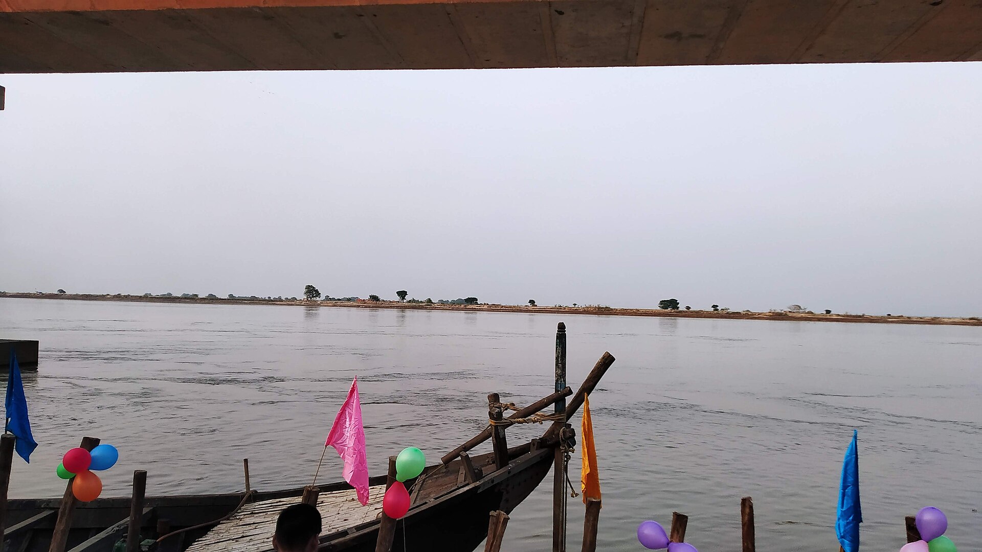
The Ganges, known as the Ganga in India, is a major Himalayan river flowing through northern India into Bangladesh. Its basin supports extensive alluvial plains, while its lower course forms part of the Ganges–Brahmaputra–Meghna delta.
Position matched with OpenStreetMap; the dashed outline shows its mapped extent. Other numbered pins are the day's other places — tap one to open it.
Why in the news
The supplied report said India and Bangladesh were scheduled to meet for discussions concerning the Ganges treaty. It did not provide details of the agenda or any outcome.
Indian name
Ganga
Headstream confluence
Devprayag, Uttarakhand
Yamuna confluence
Prayagraj, Uttar Pradesh
Major barrage
Farakka, West Bengal
Receiving sea
Bay of Bengal
Location
- The river takes the name Ganga at Devprayag in Uttarakhand, where the Bhagirathi and Alaknanda meet.
- It emerges from the Himalayan foothills onto the plains at Haridwar.
- Its course crosses the northern Indian plains through Uttar Pradesh and Bihar, then passes along Jharkhand and through West Bengal towards Bangladesh.
- In Bangladesh, it is known as the Padma; its waters ultimately reach the Bay of Bengal through the combined deltaic river system.
Flows through
- India
- Bangladesh
Key features
- Himalayan headwaters
- The Bhagirathi rises at Gaumukh, at the snout of the Gangotri Glacier; the Alaknanda is the other principal headstream.
- Alluvial plains
- The river deposits sediment across broad floodplains marked by meanders, shifting channels and oxbow lakes.
- Major tributaries
- The Yamuna joins at Prayagraj; other major tributaries include the Ghaghara, Gandak, Kosi and Son.
- Distributary system
- In West Bengal, the Bhagirathi–Hooghly branches southwards, while the main channel continues towards Bangladesh.
- Delta
- Together with the Brahmaputra and Meghna, the Ganges builds a vast delta along the northern Bay of Bengal.
Flora, fauna & ecology
- Riverine wildlife
- The river system supports the Ganges river dolphin, a freshwater cetacean dependent on connected river habitats.
- Sundarbans
- The lower delta contains tidal waterways and mangrove forests spanning India and Bangladesh.
- Flow regime
- Monsoon rainfall and Himalayan snow and ice melt sustain flows, with pronounced seasonal variation.
History & significance
- India and Bangladesh signed the Ganges Water Sharing Treaty on 12 December 1996 for a 30-year term.
- The treaty governs sharing of Ganges waters at Farakka during the dry-season period from January to May.
UPSC angle
- GS I: Himalayan drainage, tributary confluences, alluvial landforms and delta formation.
- GS II: India–Bangladesh relations and transboundary river-water cooperation.
- GS III: River conservation, environmental flows, flood management and mangrove ecosystems.
- Prelims: Distinguish the Bhagirathi headstream in Uttarakhand from the Bhagirathi–Hooghly distributary in West Bengal.
Also locate on your map
- Devprayag
- Haridwar
- Prayagraj
- Farakka
- Bhagirathi–Hooghly River
- Padma–Jamuna confluence
- Sundarbans
Test yourself
Q1. At which location do the Bhagirathi and Alaknanda meet to form the Ganga?
Q2. Consider the following statements: 1. The Yamuna joins the Ganga at Prayagraj. 2. The Bhagirathi–Hooghly is a distributary of the Ganges system in West Bengal. Which of the statements given above is/are correct?
Sources
Background maps and imagery © Esri and partners (English labels); place positions checked with OpenStreetMap (ODbL). Boundaries are for study reference only. Prepared by Pragnya IAS Academy for exam revision.