
InfoGraphix by Pragnya · Geography · Chapter 5
Landforms and their Evolution
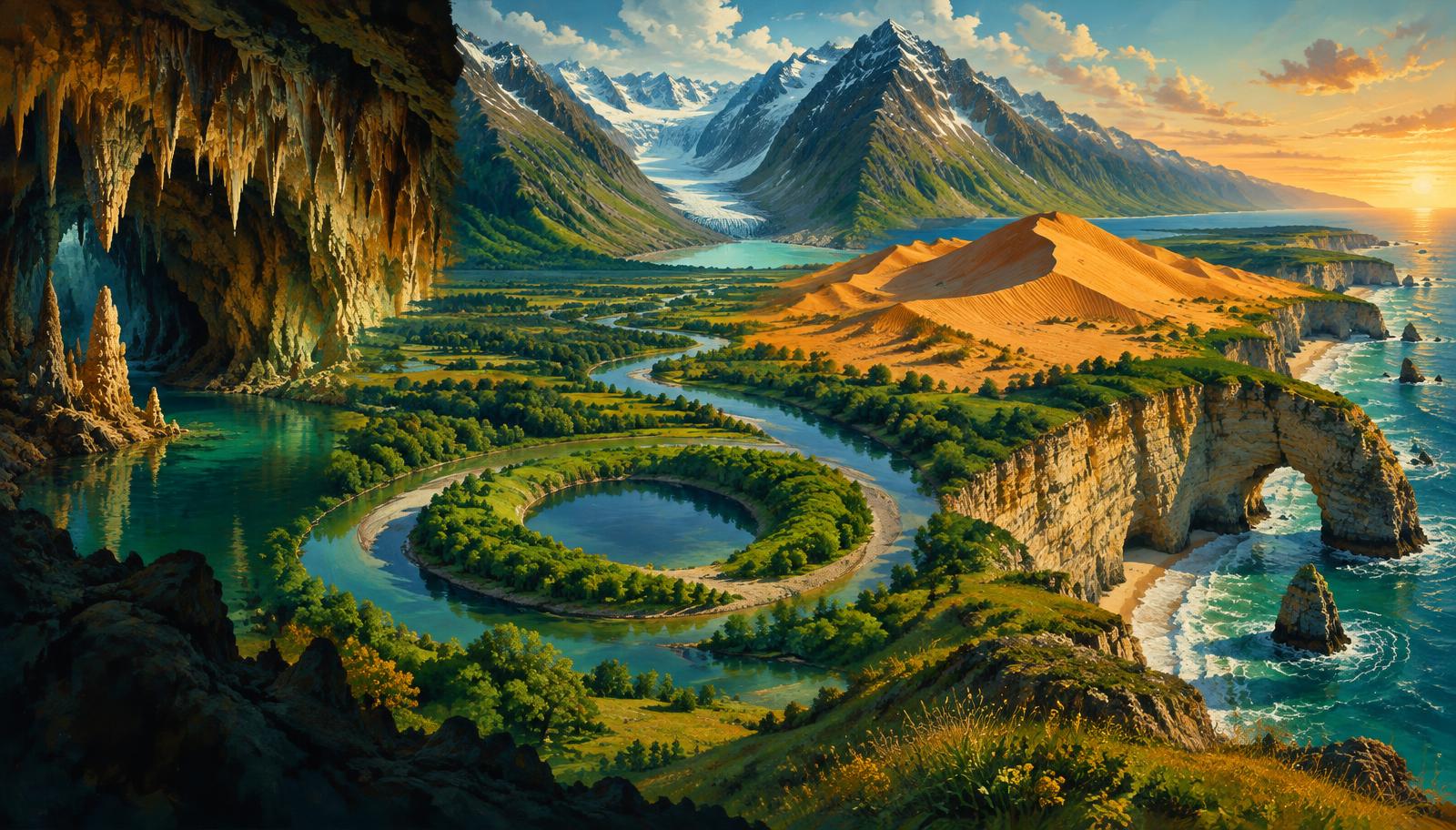
Read landscapes through their agents, processes and material. Connect river bends, limestone caves, glacial troughs, coastal barriers and desert dunes to Indian examples and planning challenges.
- 18 visual topics
- 54 practice MCQs
- 54 flip cards
From moving agents to evolving relief
Rivers · groundwater
Flow and solution
Separate erosion, sediment transfer and deposition; read alluvium and limestone landscapes.
Glacial · coastal · aeolian
Ice, waves and wind
Use cross-sections and plan views to identify the agent and its sediment signature.
Davis · Penck · India
Models and decisions
Evaluate landscape models against Indian locations, resources and hazards.
A process route through the chapter
Scroll the ribbon and tap any milestone to open its infographic.
Fluvial
Running Water: Work and Controls
Flowing water detaches, carries and deposits sediment; discharge, gradient, rock resistance and sediment supply jointly determine its work.
Open topic →Fluvial
Meanders and Oxbow Lakes
Meandering channels erode their outer bends and build inner-bank bars; neck cutoff can isolate a loop as an oxbow lake.
Open topic →Fluvial
Alluvial Fans, Braids and Deltas
Deposition occurs where sediment supply exceeds transport ability, producing fans at slope breaks, braided channels and river-mouth deltas.
Open topic →Karst
Groundwater and Surface Karst
Carbonated water dissolves limestone along joints and bedding planes, creating linked surface depressions and underground drainage.
Open topic →Glacial
Glaciers: Erosional Landforms
Moving glacier ice erodes through abrasion and plucking, widening valleys and carving sharp high-mountain relief.
Open topic →Coastal
Waves: Cliffs, Caves, Arches and Stacks
Wave attack exploits rock weaknesses, cutting notches and caves; collapse and retreat produce cliffs, platforms, arches and isolated stacks.
Open topic →Aeolian
Dunes, Migration and Loess
Wind deposits dunes where sand accumulates and blankets distant terrain with fine dust; dune geometry records wind regime, sand supply and vegetation.
Open topic →Models
Davis: Youth, Maturity and Old Age
Davis organised landscape evolution into an ideal cycle of uplift, dissection and relief reduction, using structure, process and stage as explanatory controls.
Open topic →Models
Penck and Changing Relief
Penck treated uplift and denudation as overlapping processes, interpreting relief and slope form through changes in their relative rates.
Open topic →Applications
Landforms, Resources and Hazards
Landforms create resources and exposure together: fertile alluvium, karst groundwater and coastal fisheries coexist with floods, collapse and erosion risks.
Open topic →
Topic index
Follow the numbers in order, or jump to what you need.
0 of 18 revised on this device
- 1Fluvial
Running Water: Work and Controls
Running Water: Work and Controls
Flowing water detaches, carries and deposits sediment; discharge, gradient, rock resistance and sediment supply jointly determine its work.
Open infographic - 2Fluvial
River Valleys, Waterfalls and Potholes
River Valleys, Waterfalls and Potholes
Deep incision makes narrow valleys, while slope weathering modifies their sides; waterfalls and potholes reveal concentrated erosion of bedrock.
Open infographic - 3Fluvial
Meanders and Oxbow Lakes
Meanders and Oxbow Lakes
Meandering channels erode their outer bends and build inner-bank bars; neck cutoff can isolate a loop as an oxbow lake.
Open infographic - 4Fluvial
Floodplains, Levees and River Terraces
Floodplains, Levees and River Terraces
Floodplain building combines lateral channel movement with overbank deposition; levees and terraces record distinct parts of this history.
Open infographic - 5Fluvial
Alluvial Fans, Braids and Deltas
Alluvial Fans, Braids and Deltas
Deposition occurs where sediment supply exceeds transport ability, producing fans at slope breaks, braided channels and river-mouth deltas.
Open infographic - 6Karst
Groundwater and Surface Karst
Groundwater and Surface Karst
Carbonated water dissolves limestone along joints and bedding planes, creating linked surface depressions and underground drainage.
Open infographic - 7Karst
Caves, Stalactites and Stalagmites
Caves, Stalactites and Stalagmites
Groundwater enlarges fractures into caves; later loss of dissolved carbon dioxide can precipitate calcite as dripstone deposits.
Open infographic - 8Glacial
Glaciers: Erosional Landforms
Glaciers: Erosional Landforms
Moving glacier ice erodes through abrasion and plucking, widening valleys and carving sharp high-mountain relief.
Open infographic - 9Glacial
Glaciers: Depositional Landforms
Glaciers: Depositional Landforms
Ice deposits poorly sorted till, whereas meltwater sorts and stratifies sediment, creating a different family of glacial landforms.
Open infographic - 10Coastal
Waves: Cliffs, Caves, Arches and Stacks
Waves: Cliffs, Caves, Arches and Stacks
Wave attack exploits rock weaknesses, cutting notches and caves; collapse and retreat produce cliffs, platforms, arches and isolated stacks.
Open infographic - 11Coastal
Beaches, Spits, Bars and Lagoons
Beaches, Spits, Bars and Lagoons
Waves and longshore currents redistribute coastal sediment into beaches and barriers that may shelter lagoons behind them.
Open infographic - 12Aeolian
Wind Erosion and Desert Rock Forms
Wind Erosion and Desert Rock Forms
Wind removes loose fines by deflation and abrades exposed surfaces with moving sand; arid landscapes also owe much to episodic water flow.
Open infographic - 13Aeolian
Dunes, Migration and Loess
Dunes, Migration and Loess
Wind deposits dunes where sand accumulates and blankets distant terrain with fine dust; dune geometry records wind regime, sand supply and vegetation.
Open infographic - 14Models
Davis: Youth, Maturity and Old Age
Davis: Youth, Maturity and Old Age
Davis organised landscape evolution into an ideal cycle of uplift, dissection and relief reduction, using structure, process and stage as explanatory controls.
Open infographic - 15Models
Penck and Changing Relief
Penck and Changing Relief
Penck treated uplift and denudation as overlapping processes, interpreting relief and slope form through changes in their relative rates.
Open infographic - 16India
Indian Landforms: Location Atlas
Indian Landforms: Location Atlas
Indian examples connect process recognition to map work, from peninsular waterfalls and limestone caves to Himalayan ice and coastal lagoons.
Open infographic - 17Applications
Landforms, Resources and Hazards
Landforms, Resources and Hazards
Landforms create resources and exposure together: fertile alluvium, karst groundwater and coastal fisheries coexist with floods, collapse and erosion risks.
Open infographic - 18Revision
Chapter Quick Revision
Chapter Quick Revision
Revise by pairing each agent with a process, an erosional and depositional feature, an Indian example and a planning implication.
Open infographic
Full reading notes in the Study Library
- River erosion →
- River deposition →
- Karst landforms →
- Glacial landforms →
- Coastal landforms →
- Aeolian landforms →