
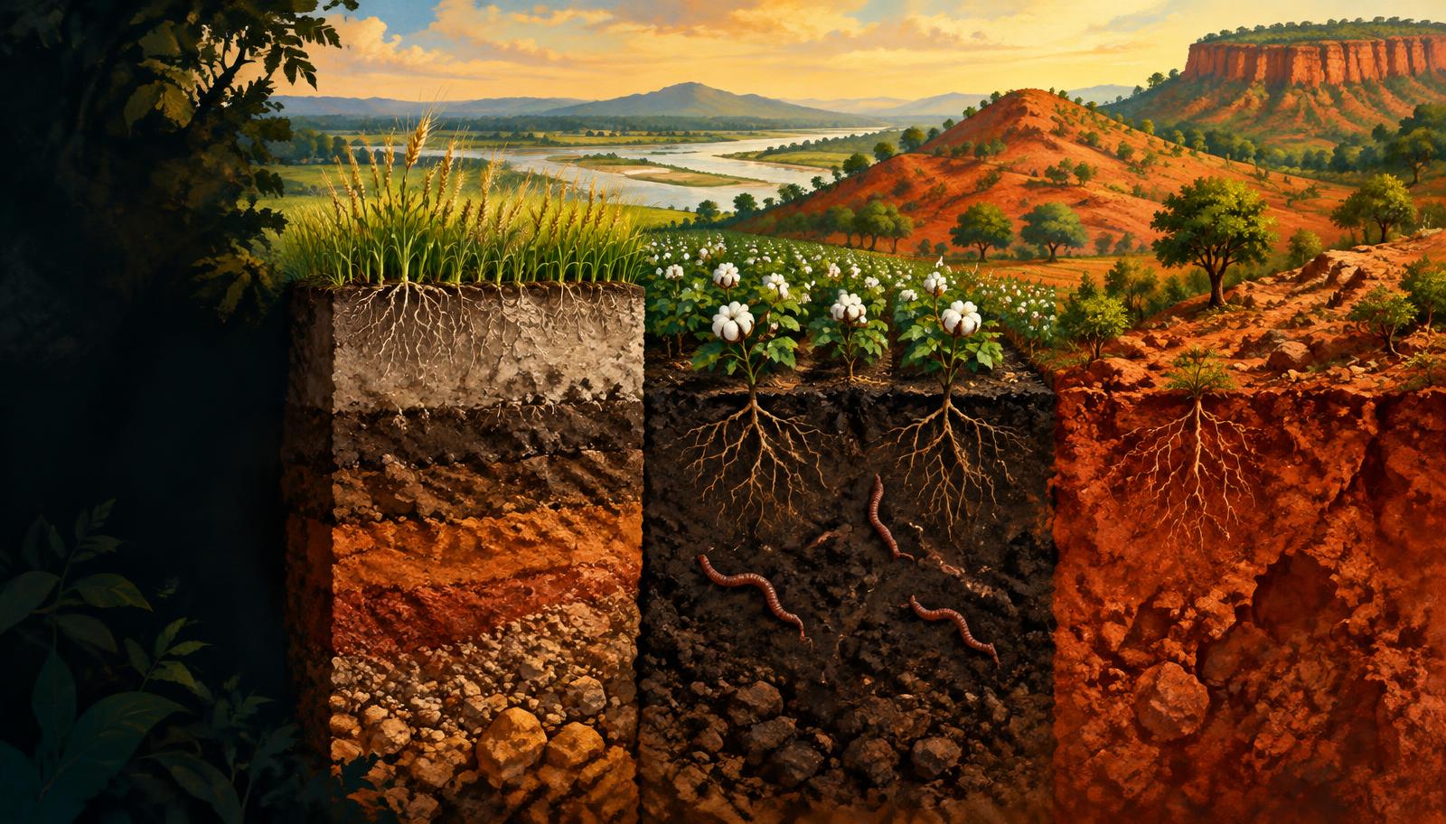
InfoGraphix by Pragnya · Geography · Chapter 17
Soils of India
Trace how India’s soils form and vary, then connect erosion, nutrient imbalance and salt damage to locally appropriate conservation. Distinguish soil-health evidence from restoration targets.
- 18 visual topics
- 54 practice MCQs
- 54 flip cards
Build, identify, protect
Topics 1–3
Formation and framework
Read soil controls, horizons and the distinction between broad groups and diagnostic orders.
Topics 4–12
India’s regional soil mosaic
Compare river deposits, Deccan clay, humid residues, dryland soils and wetland or mountain profiles.
Topics 13–18
Loss, recovery and revision
Diagnose erosion and degradation; match field conservation, nutrient advice and restoration programmes.
A route from soil formation to land restoration
Scroll the ribbon and tap any milestone to open its infographic.
1
Pedogenesis
Rock, climate, relief, life and time
Open topic →2
Reading a Soil Profile
Horizons, humus and translocation
Open topic →3
Classification
Eight familiar groups; a different taxonomy
Open topic →4
Alluvial Soils
Northern plains, valleys and coastal deltas
Open topic →5
Black Soils
Clay, cracking and stored moisture
Open topic →6
Laterite
Humid weathering concentrates iron and aluminium
Open topic →7
Saline and Sodic Soils
Salt stress is not the same as sodium damage
Open topic →8
Water Erosion
Splash, runoff, rills and gullies
Open topic →9
Soil Health Cards and Balanced Nutrition
Twelve tests turn inputs into a prescription
Open topic →10
Degradation, Desertification and Restoration
Dated evidence and an outcome-based response
Open topic →
Topic index
Follow the numbers in order, or jump to what you need.
0 of 18 revised on this device
- 1Formation
Pedogenesis: Five Interacting Controls
Rock, climate, relief, life and time
Soil develops through weathering, organic inputs and movement of materials. Its properties emerge from interacting controls rather than parent rock alone.
Open infographic - 2Soil profile
Reading a Soil Profile
Horizons, humus and translocation
A profile is a vertical section through soil horizons into parent material. Horizon development records additions, losses, transformations and transfers within soil.
Open infographic - 3Classification
Classification: Groups and Soil Orders
Eight familiar groups; a different taxonomy
The eight major groups used in Indian school geography summarise broad environments and properties. Scientific soil taxonomy instead classifies diagnostic horizons and characteristics.
Open infographic - 4Soil regions
Alluvial Soils: River-Built Landscapes
Northern plains, valleys and coastal deltas
Alluvial soils form in transported sediments and occupy India’s largest broad soil region. Their texture, depth and fertility vary with source material and depositional environment.
Open infographic - 5Soil regions
Khadar, Bhangar and Kankar
Floodplain age is the key distinction
Khadar is younger alluvium of active floodplains; bhangar is older alluvium on relatively elevated surfaces. Kankar denotes calcium-carbonate concretions, not a separate soil group.
Open infographic - 6Soil regions
Black Soils: The Deccan Regur
Clay, cracking and stored moisture
Black soils are widespread across the Deccan and commonly develop on basaltic terrain. Expanding clay gives them high water storage, strong shrink–swell behaviour and demanding cultivation conditions.
Open infographic - 7Soil regions
Red and Yellow Soils
Iron colours the crystalline-rock terrain
Red and yellow soils occur widely on crystalline-rock landscapes of peninsular India. Their fertility is often constrained by low organic matter and nutrient reserves rather than colour alone.
Open infographic - 8Soil regions
Laterite: A Residue of Intense Leaching
Humid weathering concentrates iron and aluminium
Lateritic soils develop through intense tropical weathering and leaching under warm, wet conditions. Many are acidic and nutrient-poor despite the abundant rainfall that helped form them.
Open infographic - 9Soil regions
Arid Soils and Irrigation Trade-offs
Sand, low humus and carbonate layers
Arid soils reflect limited rainfall, sparse vegetation and strong evaporation. Irrigation can transform production, but poor drainage can also concentrate salts and raise the water table.
Open infographic - 10Soil constraints
Saline and Sodic Soils: Diagnose First
Salt stress is not the same as sodium damage
Salinity is excess soluble salts; sodicity is excess exchangeable sodium. The distinction decides whether drainage and leaching alone are sufficient or a calcium amendment is also needed.
Open infographic - 11Wetlands
Peaty and Marshy Soils
Waterlogging conserves organic residues
Peaty soils accumulate partially decomposed organic material where saturation restricts oxygen supply. Marshy soils vary, and neither permanent acidity nor a fixed organic percentage describes every wetland soil.
Open infographic - 12Mountains
Forest and Mountain Soils
Altitude, slope and litter create a mosaic
Mountain soils vary sharply with altitude, vegetation, parent rock and slope. Valley accumulation and ridge erosion make a single fertility label misleading.
Open infographic - 13Erosion
Water Erosion: From Sheets to Ravines
Splash, runoff, rills and gullies
Water erosion detaches and transports soil through raindrop impact and surface runoff. Small seasonal losses can be difficult to see even as they remove the most productive surface material.
Open infographic - 14Erosion
Wind Erosion and Human Pressures
Exposure turns climate stress into soil loss
Wind erodes dry, loose and sparsely covered soil, especially in western Rajasthan. Human land use can accelerate both wind and water erosion by exposing surfaces and disrupting soil structure.
Open infographic - 15Conservation
Conservation: Match Measure to Process
Slow runoff, shelter soil, rebuild cover
Effective conservation combines land shaping, living cover and water management at field and watershed scales. The intervention must match slope, rainfall, soil depth and the dominant degradation process.
Open infographic - 16Soil health
Soil Health Cards and Balanced Nutrition
Twelve tests turn inputs into a prescription
The Soil Health Card scheme, launched in 2015, connects soil testing with nutrient and amendment advice. Fertiliser recommendations should respond to the field, crop and yield target rather than a universal ratio.
Open infographic - 17Restoration
Degradation, Desertification and Restoration
Dated evidence and an outcome-based response
Land degradation includes declining biological or economic productivity from erosion, chemical damage and other pressures. Desertification is land degradation specifically in arid, semi-arid and dry sub-humid areas, not simply advancing sand dunes.
Open infographic - 18Revision
Chapter Quick Revision
Numbers, soil contrasts and a Mains frame
Revise soil formation, regional properties, erosion processes and management as one cause–effect chain. Separate dated measurements, policy targets and field-level diagnoses in examination answers.
Open infographic