
InfoGraphix by Pragnya · Geography · Chapter 16
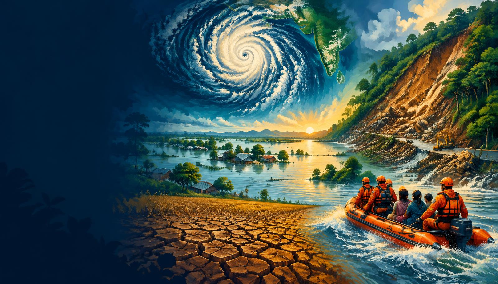
Natural Hazards and Disasters
Understand how earthquakes, storms, floods and water stress become disasters, and how India reduces their impacts. Link physical geography with warnings, safer development and accountable disaster governance.
- 18 visual topics
- 54 practice MCQs
- 54 flip cards
Three lenses for disaster resilience
Topics 1–6
Understand risk
Risk concepts, the management cycle, earthquakes and tsunami processes with coastal warning.
Topics 7–12
Manage water and weather extremes
Cyclone preparedness, river and urban floods, drought assessment and Deccan water resilience.
Topics 13–18
Govern cascading risks
Slopes, GLOFs, heat, lightning, Indian institutions, Sendai and integrated revision.
From physical processes to organised protection
Scroll the ribbon and tap any milestone to open its infographic.
Before impact
Risk-aware development
Reduce new exposure and vulnerability through everyday planning.
Open topic →Seconds
Earthquake action
Safe buildings matter more than promises of prediction.
Open topic →2004 → 2007
Tsunami warning capacity
Indian Ocean disaster followed by an operational national warning centre.
Open topic →1999 → 2019
Cyclone preparedness
Odisha strengthened evacuation, shelters and community response.
Open topic →1980 benchmark
Floodplain risk
Historical flood-prone estimates must not be confused with annual flood extent.
Open topic →Each crop season
Drought decisions
Combine water budgets, contingency crops and livelihood support.
Open topic →2023–2024
Mountain and slope warnings
South Lhonak and Wayanad illustrate different triggers and cascading risks.
Open topic →2005 → 2025
Statutory governance
The Act and its amendment strengthen the institutional framework.
Open topic →2015–2030
Sendai commitments
Translate four priorities and seven targets into local action.
Open topic →
Topic index
Follow the numbers in order, or jump to what you need.
0 of 18 revised on this device
- 1Foundations
Hazard, Exposure, Vulnerability and Risk
Hazard, Exposure, Vulnerability and Risk
Risk emerges where hazardous processes intersect with exposed people and assets whose vulnerability exceeds their capacity to cope. Disaster reduction therefore changes development choices, not merely emergency response.
Open infographic - 2Foundations
The Disaster Management Cycle
The Disaster Management Cycle
Prevention, mitigation, preparedness, response and recovery form a connected cycle rather than isolated administrative stages. Risk-informed reconstruction prevents relief from reproducing earlier vulnerabilities.
Open infographic - 3Geophysical
Earthquake Processes and Measurement
Earthquake Processes and Measurement
Earthquakes release accumulated strain along faults and transmit energy as seismic waves. Magnitude measures source size, whereas intensity describes effects at a particular location.
Open infographic - 4Geophysical
India’s Seismic Risk and Safer Buildings
India’s Seismic Risk and Safer Buildings
Himalayan convergence, northeastern tectonics, Kachchh faults and the Andaman subduction setting create major seismic risks. Peninsular India is not earthquake-free, as Koyna and Latur demonstrate.
Open infographic - 5Coastal
Tsunami Generation and Coastal Behaviour
Tsunami Generation and Coastal Behaviour
Tsunamis are long waves generated by rapid displacement of a large volume of water. They move rapidly across deep oceans and can inundate coasts even when offshore wave heights appear modest.
Open infographic - 6Coastal
Tsunami Warning and Coastal Preparedness
Tsunami Warning and Coastal Preparedness
India’s tsunami warning system combines seismic detection, sea-level observations and numerical modelling. Communities need mapped evacuation routes and rehearsed action because nearby sources leave little time.
Open infographic - 7Atmospheric
Tropical Cyclones: Formation and Impacts
Tropical Cyclones: Formation and Impacts
Tropical cyclones require favourable oceanic and atmospheric conditions, but their damage depends strongly on the coastline and exposed settlements. Wind, storm surge and intense rainfall are distinct yet interacting threats.
Open infographic - 8Preparedness
Cyclone Warnings and the Odisha Model
Cyclone Warnings and the Odisha Model
Forecast accuracy saves lives only when authorities and communities translate warnings into timely action. Odisha illustrates how shelters, trained volunteers and evacuation systems can reduce mortality without eliminating economic losses.
Open infographic - 9Hydrological
River Floods and Floodplain Management
River Floods and Floodplain Management
Floods reflect rainfall and river processes interacting with settlement, drainage and floodplain use. Forecasting and land-use regulation must complement engineering rather than be treated as substitutes.
Open infographic - 10Urban systems
Urban Floods and Water-Sensitive Cities
Urban Floods and Water-Sensitive Cities
Urban flooding results when rainfall runoff or river inflow exceeds a city’s drainage and storage capacity. Wetland loss, sealed surfaces and unequal access to safe housing turn intense rain into a governance challenge.
Open infographic - 11Slow onset
Drought Types, Indicators and Declaration
Drought Types, Indicators and Declaration
Drought is a slow-onset water deficit whose meteorological, agricultural and hydrological expressions need not occur together. Formal declaration requires multiple indicators rather than one nationwide rainfall threshold.
Open infographic - 12Water security
Drought Resilience in the Deccan
Drought Resilience in the Deccan
Rain-shadow and semi-arid regions need water-demand management alongside conservation works. Drought resilience in Telangana and Rayalaseema depends on crop choices, groundwater budgeting and livelihood protection.
Open infographic - 13Mountain risk
Landslides, Subsidence and Avalanches
Landslides, Subsidence and Avalanches
Slope failures arise from geology, terrain, water and disturbance acting together. Zonation should guide settlement and infrastructure decisions, while site investigations determine suitable protection measures.
Open infographic - 14Cascading risk
Cloudbursts, Flash Floods and GLOFs
Cloudbursts, Flash Floods and GLOFs
Cloudbursts and glacial lake outburst floods can produce rapid downstream disasters, but they originate through different mechanisms. Himalayan catchments require linked monitoring of rainfall, lakes, slopes and infrastructure.
Open infographic - 15Public health
Heatwaves, Lightning and Other Hazards
Heatwaves, Lightning and Other Hazards
Heat and lightning cause serious losses without necessarily producing dramatic infrastructure damage. Action plans must reach outdoor workers, older people, children and those without safe shelter or cooling.
Open infographic - 16Institutions
Disaster Governance, Forces and Funds
Disaster Governance, Forces and Funds
The Disaster Management Act, 2005 provides India’s statutory disaster-governance framework. Authorities, specialist forces, training institutions and financial instruments have distinct roles that should not be conflated.
Open infographic - 17Global cooperation
Sendai, Early Warning and Resilient Infrastructure
Sendai, Early Warning and Resilient Infrastructure
The Sendai Framework links disaster-risk governance to investment, preparedness and safer recovery. Multi-hazard early warning needs coordinated institutions and actionable messages, not sensors alone.
Open infographic - 18Revision
Chapter Quick Revision
Numbers, agencies, traps and an answer frame
Revise mechanisms, warning agencies, institutions and mitigation choices together. Strong answers separate the physical trigger from the social conditions that convert it into a disaster.
Open infographic
Full reading notes in the Study Library
- Hazard →
- Vulnerability →
- Risk →
- Preparedness →
- Build Back Better →
- Earthquakes →
- Plate tectonics →
- Mitigation →
- Early warning systems →
- Community resilience →
- Tropical cyclones →
- Floods →
- Watersheds →
- Droughts →
- Groundwater →
- Climate-resilient agriculture →
- Water resources →
- Response →
- Capacity →