
InfoGraphix by Pragnya · Geography · Chapter 2
Interior of the Earth
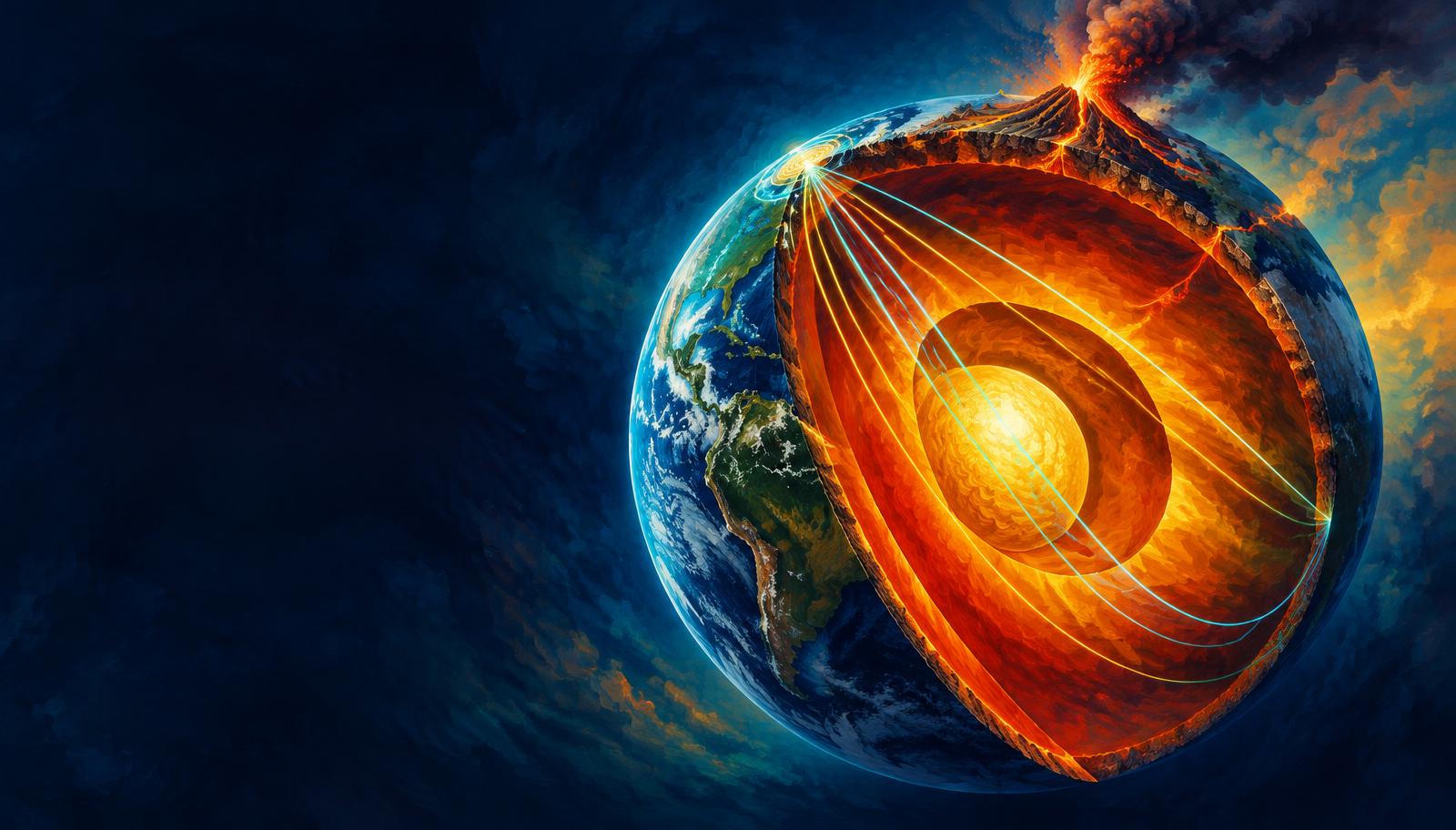
Read the hidden Earth through samples and seismic signals, then connect its layers to rocks, earthquakes, volcanism and magnetism. Indian examples link physical processes with resources and disaster preparedness.
- 18 visual topics
- 54 practice MCQs
- 54 flip cards
Three ways to read the hidden Earth
Topics 1–8
Evidence and materials
Infer the layers and distinguish mineral composition, rock textures, transformations and Indian resource associations.
Topics 9–13
Waves and seismic risk
Use waves and shadow zones to understand the interior, earthquake sources, measurement and safer settlements.
Topics 14–18
Magma and magnetic protection
Connect melting to landforms and hazards, then trace the core dynamo into the space environment and revise the whole chapter.
An evidence-to-process route map
Scroll the ribbon and tap any milestone to open its infographic.
1
Observe
Samples and geophysical evidence
Open topic →2
Layer
Chemical shells and physical states
Open topic →3
Identify
Minerals and crustal composition
Open topic →4
Transform
Metamorphism and the rock cycle
Open topic →5
Trace
Body and surface waves
Open topic →6
Infer
Core boundaries from shadow zones
Open topic →7
Prepare
Indian seismic hazard and risk reduction
Open topic →8
Erupt
Volcanic forms and regional impacts
Open topic →9
Protect
Geodynamo and space weather
Open topic →
Topic index
Follow the numbers in order, or jump to what you need.
0 of 18 revised on this device
- 1Evidence
How We Know the Interior
Samples, seismic signals and inference
Rock samples tell us directly about shallow Earth; waves, gravity and magnetism let us infer structures far deeper than any borehole.
Open infographic - 2Layers
Crust, Mantle and Core
Composition, depth, density and state
Earth’s compositional layers differ in chemistry and density; their physical state reflects both temperature and pressure.
Open infographic - 3Boundaries
Mechanical Layers and Discontinuities
Lithosphere, weak mantle and seismic interfaces
Chemical layering and mechanical layering answer different questions: what Earth contains, and how its material responds to stress.
Open infographic - 4Materials
Minerals and Crustal Elements
Eight elements and six mineral groups
A mineral has an ordered structure and a characteristic composition; rocks aggregate minerals and need not have a fixed chemical formula.
Open infographic - 5Rocks
Igneous Rocks: Cooling and Composition
Granite–rhyolite and gabbro–basalt
Igneous textures record cooling conditions, while mineral composition separates silica-rich felsic rocks from iron–magnesium-rich mafic rocks.
Open infographic - 6Rocks
Sedimentary Rocks and Resources
Clastic, chemical and organic pathways
Sedimentary rocks preserve surface environments through accumulated particles, chemical precipitates and biological material, often arranged in strata.
Open infographic - 7Rock cycle
Metamorphism and the Rock Cycle
Parent rocks, recrystallisation and multiple routes
Metamorphism changes existing rock without wholesale melting; the rock cycle connects all three families through several possible routes.
Open infographic - 8India
Indian Rock Systems and Their Uses
Dharwar, Gondwana, Vindhyan and Deccan
India’s rock assemblages link deep geological history with ores, fuels, soils and building materials; a rock system is not a single uniform rock.
Open infographic - 9Seismology
Seismic Waves: Motion and Medium
P, S, Love and Rayleigh waves
Earthquake waves carry energy in different ways: body waves cross the interior, while surface waves travel near the free surface.
Open infographic - 10Seismology
Shadow Zones and the Interior Model
Refraction, liquid core and inner-core evidence
Global gaps in direct seismic arrivals reveal internal boundaries: strong P refraction and missing direct S transmission diagnose the outer core.
Open infographic - 11Earthquakes
Earthquakes: Faults, Depths and Belts
Elastic rebound, causes and plate settings
Earthquakes release accumulated strain through sudden fault slip; their depth and distribution depend on tectonic setting and local fault behaviour.
Open infographic - 12Measurement
Measuring and Locating Earthquakes
Magnitude, intensity and logarithmic ratios
Magnitude describes source size; intensity describes observed effects at a particular place, so one earthquake generates many intensity values.
Open infographic - 13Disaster risk
India: Seismic Zones and Preparedness
Hazard maps, site effects and safer buildings
India combines active Himalayan collision, northeastern deformation and intraplate faulting; seismic safety requires local assessment as well as national zoning.
Open infographic - 14Volcanism
Magma and Eruption Styles
Melting, silica, gases and viscosity
Magma forms through decompression, added volatiles or heat transfer; its composition, temperature and gas content shape eruption behaviour.
Open infographic - 15Volcanism
Volcanoes: Forms, Distribution and Hazards
Shield, composite, caldera and Indian examples
Volcanic form records repeated eruptions and collapse, while tectonic setting controls where magma can reach the surface.
Open infographic - 16Landforms
Intrusive Igneous Landforms
Batholith, laccolith, lopolith, sill and dyke
Magma solidifying below ground creates bodies distinguished by size, geometry and their relationship to the enclosing rock layers.
Open infographic - 17Magnetism
Earth’s Magnetic Field and Space Weather
Geodynamo, reversals, auroras and Aditya-L1
Flowing electrically conducting metal in the outer core sustains Earth’s magnetic field, linking the deep interior to the space environment.
Open infographic - 18Revision
Chapter Quick Revision
Numbers, contrasts, traps and an answer frame
Revise the chapter as an evidence-to-process chain: infer the layers, explain rocks and waves, then connect internal dynamics to hazards and protection.
Open infographic