
InfoGraphix by Pragnya · Geography · Chapter 14
Drainage System of India
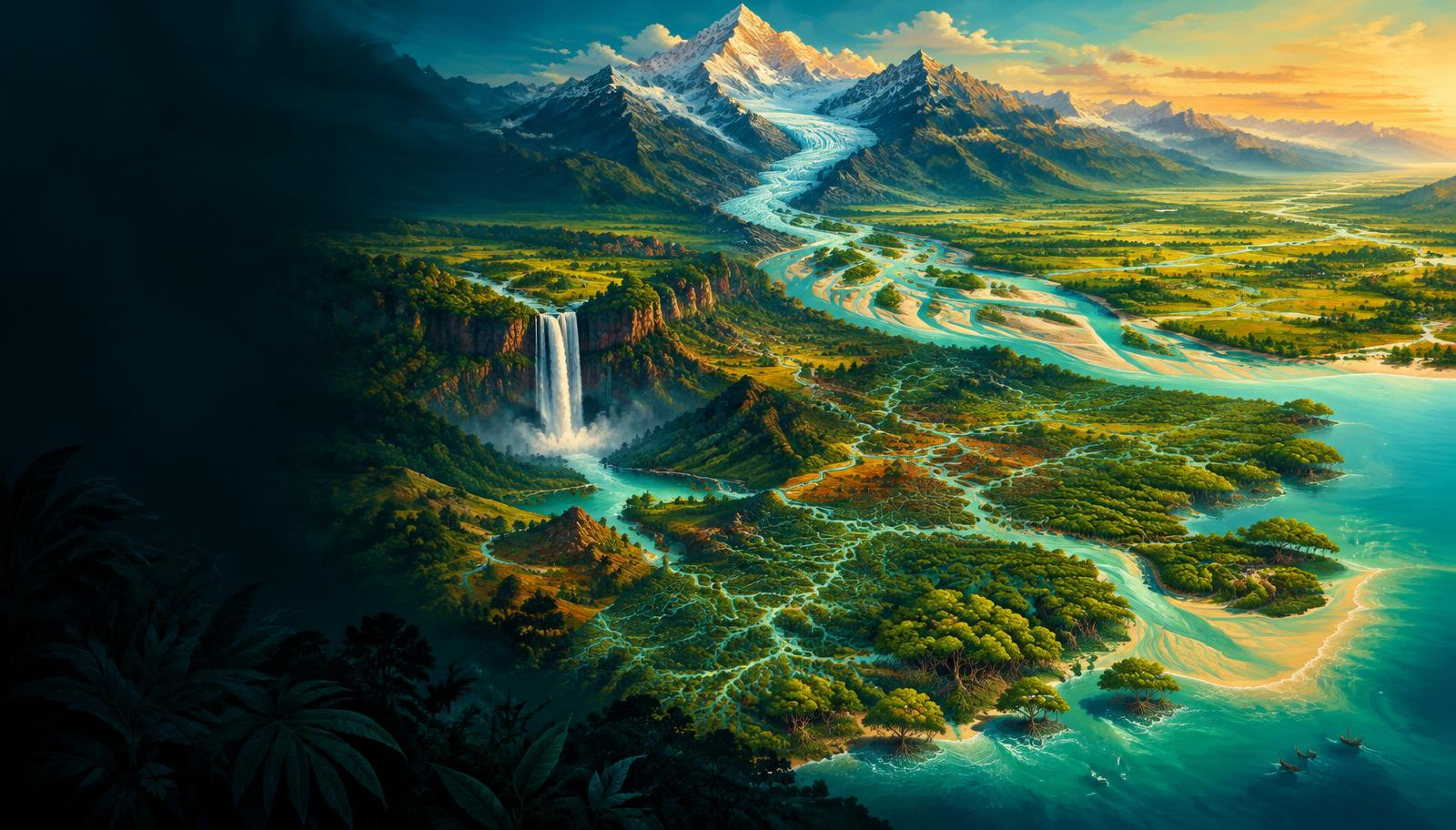
Trace India’s rivers from headwaters to deltas, linking drainage patterns with tributaries, lakes, waterfalls and multipurpose projects. Evaluate interlinking, interstate disputes and river pollution through a basin-management lens.
- 18 visual topics
- 54 practice MCQs
- 54 flip cards
Three ways to organise Indian drainage
Topics 1–6
Read the network
Drainage patterns, river evolution, Indus and the Ganga headwater-to-delta system.
Topics 7–12
Follow the great basins
Brahmaputra and the four major east-flowing Peninsular river systems.
Topics 13–18
Connect landscape and policy
Western rivers, inland drainage, lakes, falls, interlinking and basin governance.
A map-led route through the chapter
Scroll the ribbon and tap any milestone to open its infographic.
Patterns
Basins, Divides & Drainage Patterns
Read the basin before memorising the river
Open topic →Regimes
Himalayan vs Peninsular Rivers
Age, flow, valleys and exceptions
Open topic →Northwest
Indus: Mainstem & Five Rivers
Ladakh to the Arabian Sea
Open topic →Headwaters
Ganga Headwaters & Panch Prayag
Two headstreams and five confluences
Open topic →Northeast
Brahmaputra: Route, Banks & Braiding
Tsangpo to Jamuna through the Great Bend
Open topic →Deccan
Godavari: The Largest Peninsular Basin
Trimbakeshwar to the Andhra delta
Open topic →Westward
Narmada & Tapi: Rift-Valley Rivers
Westward through structurally guided valleys
Open topic →Wetlands
Lakes & Wetlands: Location to Function
Freshwater, saline and brackish systems
Open topic →Management
Interlinking, Disputes & River Pollution
Infrastructure plus basin governance
Open topic →
Topic index
Follow the numbers in order, or jump to what you need.
0 of 18 revised on this device
- 1Foundations
Basins, Divides & Drainage Patterns
Read the basin before memorising the river
A drainage basin is the land contributing water to one river system; rock structure and relief help determine the arrangement of its channels.
Open infographic - 2Foundations
Himalayan vs Peninsular Rivers
Age, flow, valleys and exceptions
Glacier and snow melt supplement monsoon rainfall in many Himalayan rivers, while Peninsular rivers depend mainly on rainfall and stored catchment water.
Open infographic - 3Indus
Indus: Mainstem & Five Rivers
Ladakh to the Arabian Sea
The Indus flows northwest across the Tibetan–Ladakh region, then turns south through Pakistan; its tributaries connect the Karakoram, Himalaya and Punjab plains.
Open infographic - 4Indus
Indus Treaty & Himalayan Projects
Allocation, rights and the 2025 development
The 1960 Indus Waters Treaty differentiated eastern and western rivers while retaining specified exceptions and Indian uses of western-river waters.
Open infographic - 5Ganga
Ganga Headwaters & Panch Prayag
Two headstreams and five confluences
The name Ganga begins at Devprayag where Bhagirathi meets Alaknanda; the five Prayags are confluences arranged along the Alaknanda valley.
Open infographic - 6Ganga
Ganga Tributaries & the Bengal Delta
Banks, megafans and distributaries
The Ganga basin is India’s largest river basin, occupying about one-quarter of the country; Himalayan and Peninsular tributaries give it a complex seasonal regime.
Open infographic - 7Brahmaputra
Brahmaputra: Route, Banks & Braiding
Tsangpo to Jamuna through the Great Bend
The Brahmaputra flows east across Tibet as Yarlung Tsangpo, turns around Namcha Barwa and enters India as Siang/Dihang before crossing Assam.
Open infographic - 8Brahmaputra
Brahmaputra: Dams & Shared Risks
Hydropower, data and downstream safeguards
Upstream hydropower development on Yarlung Tsangpo raises downstream questions about seasonal releases, sediment continuity and disaster preparedness.
Open infographic - 9Eastern basins
Mahanadi & Eastern Coastal Rivers
Sihawa, Hirakud and the Odisha delta
The Mahanadi links the Chhattisgarh uplands with Odisha’s delta; several smaller east-flowing systems drain the eastern plateau and coastal plains.
Open infographic - 10Eastern basins
Godavari: The Largest Peninsular Basin
Trimbakeshwar to the Andhra delta
The Godavari is the longest Peninsular river at about 1,465 km and drains the largest Peninsular basin, linking the western plateau to the Andhra coast.
Open infographic - 11Eastern basins
Krishna: Tributaries, Dams & Allocation
Mahabaleshwar to the Bay of Bengal
The Krishna basin is a central water-security arena for the Deccan, with major tributaries, reservoirs and competing demands across several states.
Open infographic - 12Eastern basins
Kaveri: Monsoons, Falls & Sharing
Talakaveri to the Tamil Nadu delta
The Kaveri rises at Talakaveri in the Brahmagiri hills of Karnataka; rainfall from both monsoon seasons supports its comparatively sustained river regime.
Open infographic - 13Western basins
Narmada & Tapi: Rift-Valley Rivers
Westward through structurally guided valleys
Narmada and Tapi are major west-flowing Peninsular rivers whose structurally guided valleys contrast with the dominant eastward plateau drainage.
Open infographic - 14Western basins
Western Coastal & Inland Rivers
Mahi, Luni and the short Ghats rivers
Western India includes both short, steep coastal rivers and internally draining desert streams; they should not be grouped into one identical hydrological type.
Open infographic - 15Landforms
Lakes & Wetlands: Location to Function
Freshwater, saline and brackish systems
Lake questions combine location, salinity, origin and ecological function; area rankings require care because lake extents vary seasonally and by definition.
Open infographic - 16Landforms
Waterfalls & Multipurpose Project Map
Match the landmark to its actual river
Waterfalls commonly mark resistant rock steps, faulted relief or other breaks in a river’s longitudinal profile; their river pairings are frequent practice themes.
Open infographic - 17Governance
Interlinking, Disputes & River Pollution
Infrastructure plus basin governance
River management must reconcile reliable water supply with ecological flows, interstate cooperation and pollution control; infrastructure alone does not settle these trade-offs.
Open infographic - 18Revision
Chapter Quick Revision
Numbers, river pairs, traps and answer frame
Revise the drainage chapter by linking basin structure, headwaters, tributary banks, river mouths and governance rather than learning isolated lists.
Open infographic
Full reading notes in the Study Library
- River basins →
- Watersheds →
- Himalayas →
- Peninsular rivers →
- Indus system →
- Water resources →
- Ganga system →
- Floods →
- Brahmaputra system →
- Coastal Plains →
- Irrigation →
- Monsoon mechanism →
- Faulting →
- Indian Desert →
- Wetlands →
- River erosion →
- Interlinking of rivers →