
InfoGraphix by Pragnya · Geography · Chapter 4
Geomorphic Processes
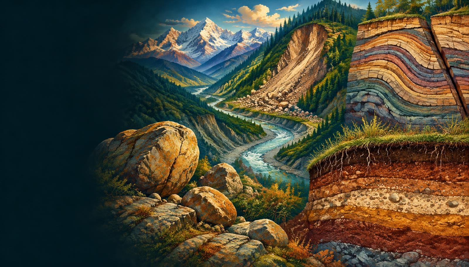
Read landscapes through internal deformation and surface processes. Connect folds, faults, weathering and soil formation with Indian landslide risk and practical mitigation.
- 18 visual topics
- 54 practice MCQs
- 54 flip cards
Three connected landscape systems
Topics 1–6
Internal architecture
Energy, deformation, folds, faults and structural drainage.
Topics 7–12
Surface preparation
Denudation, weathering, organisms and slope stability.
Topics 13–18
Movement, hazards and renewal
Mass movement, Indian risk reduction, sediment budgets and soils.
A process map, not a historical chronology
Scroll the ribbon and tap any milestone to open its infographic.
Step 1
Processes, Forces & Agents
Read relief as a linked system
Open topic →Step 2
Orogeny & Epeirogeny
Mountain belts versus broad regional movement
Open topic →Step 3
Folds: Geometry & Rock Order
Anticlines, synclines and overturned limbs
Open topic →Step 4
Faults & Relative Displacement
Read the hanging wall before naming the fault
Open topic →Step 5
Weathering: In Situ Change & Controls
Regolith, climate and exposed surfaces
Open topic →Step 6
Chemical Weathering
Solution, hydrolysis and redox reactions
Open topic →Step 7
Mass Movement: Slope Failure Controls
Gravity, water and resisting strength
Open topic →Step 8
Landslides in India: Regional Comparison
Himalaya, Ghats, Nilgiris and hill roads
Open topic →Step 9
Erosion, Deposition & Soil Formation
From detached grains to organised soil horizons
Open topic →
Topic index
Follow the numbers in order, or jump to what you need.
0 of 18 revised on this device
- 1Framework
Processes, Forces & Agents
Read relief as a linked system
Earth’s relief records internal deformation and surface redistribution acting together. A process is an action; an agent is the mobile medium performing erosion, transport and deposition.
Open infographic - 2Internal forces
Endogenic Energy & Diastrophism
Internal heat, stress and deformation
Internal heat sustains mantle convection and tectonic activity, while accumulated stress deforms or breaks the crust. Diastrophism groups the large-scale movements that uplift, lower and distort crustal rocks.
Open infographic - 3Crustal movement
Orogeny & Epeirogeny
Mountain belts versus broad regional movement
Orogeny produces strongly deformed mountain belts, whereas epeirogeny describes broad uplift or subsidence with comparatively little folding. Their horizontal-versus-vertical contrast is useful but not absolute.
Open infographic - 4Structures
Folds: Geometry & Rock Order
Anticlines, synclines and overturned limbs
Folds are bends in layered rock formed by deformation, commonly under compression. Shape, limb inclination and the age sequence together identify fold structures more reliably than present-day surface relief.
Open infographic - 5Structures
Faults & Relative Displacement
Read the hanging wall before naming the fault
A fault is a fracture with displacement, unlike a joint where no appreciable shear displacement is evident. Relative block movement distinguishes normal, reverse, thrust and strike-slip faults.
Open infographic - 6Indian structures
Horsts, Grabens & Indian Rift Valleys
Fault blocks and the Narmada–Tapi corridor
Faulting can leave blocks relatively raised as horsts or lowered as grabens. Indian fault-controlled valleys illustrate structural inheritance, but their river mouths also reflect sediment supply and coastal processes.
Open infographic - 7Surface systems
Exogenic Forces & Denudation
Climate, gravity and rock resistance
Exogenic activity modifies exposed terrain through weathering, mass movement and erosion. Climate supplies water and temperature contrasts, while gravity provides a downslope tendency and agents move sediment.
Open infographic - 8Weathering
Weathering: In Situ Change & Controls
Regolith, climate and exposed surfaces
Weathering disintegrates and chemically alters rock at or near the surface without bulk transport. It produces regolith and fresh mineral surfaces that support soil development and later removal.
Open infographic - 9Weathering
Physical Weathering
Unloading, heat, frost and salt
Physical weathering breaks rock without fundamentally changing mineral composition. Pressure release, differential heating, ice growth and salt crystallisation exploit existing weaknesses in different environments.
Open infographic - 10Weathering
Chemical Weathering
Solution, hydrolysis and redox reactions
Chemical weathering changes mineral composition through reactions involving water, dissolved gases and other substances. Warmth and moisture often favour these reactions, but mineralogy and drainage determine their actual expression.
Open infographic - 11Weathering
Biological Weathering & Its Value
Roots, organisms, ores and heritage
Organisms weather rock mechanically and chemically through roots, burrowing and organic compounds. Weathering also influences nutrient release, residual ore enrichment and the durability of built heritage.
Open infographic - 12Slope systems
Mass Movement: Slope Failure Controls
Gravity, water and resisting strength
Mass movement is downslope displacement of rock or soil under gravity without a separate transporting agent doing the carrying. Water may saturate and mobilise the mass, so the definition does not mean dry movement.
Open infographic - 13Slope systems
Slow Movements: Creep & Solifluction
Small displacements with cumulative effects
Creep slowly deforms soil and regolith downslope, often leaving indirect evidence rather than a visible failure scar. Solifluction involves slow movement of saturated surface material, commonly over a poorly permeable or frozen substrate.
Open infographic - 14Slope systems
Slides, Falls & Flows
Rotation, sliding surfaces and internal deformation
Rapid mass movements differ in how the material moves, not merely in its speed or water content. Slides move along failure surfaces, falls detach through the air, and flows deform internally.
Open infographic - 15Indian hazards
Landslides in India: Regional Comparison
Himalaya, Ghats, Nilgiris and hill roads
India’s landslide conditions vary across active Himalayan terrain and the deeply weathered slopes of the Western Ghats and Nilgiris. Geology, rainfall, slope modification and exposure must be assessed together.
Open infographic - 16Risk management
Recent Cases & Landslide Risk Reduction
Joshimath 2023, Wayanad 2024 and preparedness
Joshimath’s 2023 subsidence crisis and the July 2024 Wayanad landslides show why hazard assessment must precede development. Monitoring is useful only when linked to land-use decisions, warning communication and timely evacuation.
Open infographic - 17Surface budgets
Erosion, Deposition & Soil Formation
From detached grains to organised soil horizons
Erosion detaches and removes material; deposition accumulates it when transport conditions change. Soil formation then transforms mineral or deposited parent material through the interaction of climate, organisms, relief and time.
Open infographic - 18Revision
Chapter Quick Revision
Numbers, contrasts and a compact answer frame
Revise geomorphic processes as a connected chain from tectonic relief to weathering, slope movement, sediment transfer and soil development. Keep mechanisms, triggers and exposure separate when explaining hazards.
Open infographic
Full reading notes in the Study Library
- Weathering →
- Plate tectonics →
- Earthquakes →
- Volcanoes →
- Mountains →
- Plateaus →
- Folding →
- Faulting →
- Peninsular rivers →
- Mass wasting →
- Soils →
- Indian Desert →
- Karst landforms →
- Bauxite →
- Iron ore →
- Glacial landforms →
- Himalayas →
- Peninsular Plateau →
- River erosion →
- River deposition →