
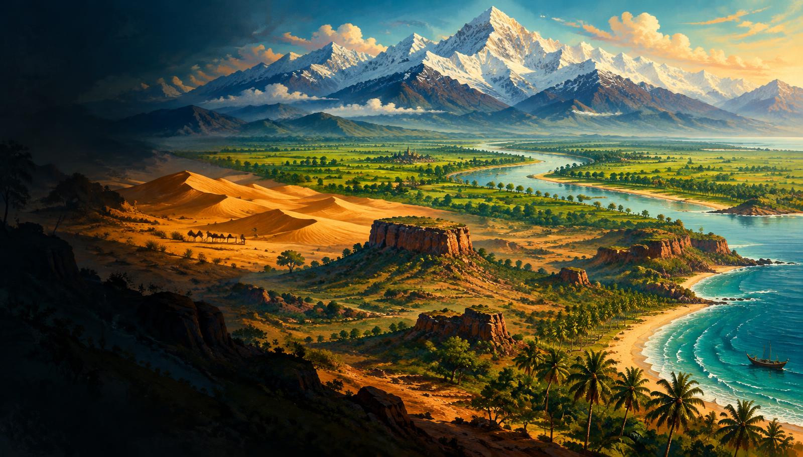
InfoGraphix by Pragnya · Geography · Chapter 13
Structure and Physiography of India
Read India’s relief through its geological foundations, Himalayan belts, river-built plains and ancient plateau. Compare desert, coastal and island environments through maps, processes, livelihoods and risk.
- 18 visual topics
- 54 practice MCQs
- 54 flip cards
Three connected relief systems
Topics 1–6
Structure and mountains
Geological units, collision, parallel ranges, regional divisions and passes.
Topics 7–12
Plains and plateau
Alluvial landscapes, ancient uplands, Deccan lavas and the two Ghats.
Topics 13–18
Desert, coasts and islands
Aridity, coastal contrasts, island origins and integrated revision.
A map-led route across India’s landforms
Scroll the ribbon and tap any milestone to open its infographic.
Framework
Geological Framework and Six Relief Divisions
Separate ancient shield, active collision belt and sedimentary foreland.
Open topic →Ranges
Parallel Ranges and Major Peaks
Read the mountain profile from the plains towards the Trans-Himalaya.
Open topic →Regions
Eastern Himalaya and Purvanchal
Follow the arc eastward and then south through Purvanchal.
Open topic →Crossings
Himalayan Passes and Transport Corridors
Place each pass in its state and transport corridor.
Open topic →Foreland
Northern Plains: Formation and Regions
Connect river sediment with fertile but flood-prone alluvial plains.
Open topic →Shield
Peninsular Plateau: Structure and Drainage
Use structure and slope to explain plateau drainage.
Open topic →Margins
Western and Eastern Ghats Compared
Compare Ghats through relief, monsoon exposure and river breaches.
Open topic →Aridity
Indian Desert: Dunes, Drainage and Water
Link rainfall, evaporation, dunes and seasonal drainage.
Open topic →Coast
Eastern Coastal Plain and Major Deltas
Understand delta growth, lagoons and cyclone exposure.
Open topic →Islands
Lakshadweep and the Island Comparison
Contrast coral-island and island-arc processes and planning needs.
Open topic →
Topic index
Follow the numbers in order, or jump to what you need.
0 of 18 revised on this device
- 1Foundations
Geological Framework and Six Relief Divisions
Old shield, active mountains, sedimentary plains
India’s relief reflects an ancient continental shield, a tectonically active northern mountain belt and a sediment-filled foreland basin. Geological structure explains relief, but the three structural units should not be confused with the six physiographic divisions.
Open infographic - 2Mountain building
Himalayan Origin, Thrusts and Significance
Collision, foreland flexure and a living mountain belt
The Himalaya developed as India converged with Eurasia and sediments and crust were shortened, folded and thrust southward. Continuing convergence connects the mountains’ water and climate services with serious earthquake and slope-instability risks.
Open infographic - 3Himalayan ranges
Parallel Ranges and Major Peaks
Trans-Himalaya to Shiwaliks; peaks and duns
The familiar south-to-north sequence is Shiwalik, Lesser Himalaya and Greater Himalaya, with Trans-Himalayan ranges farther north. Range identity, mean elevation and the territorial wording of peak questions must be kept separate.
Open infographic - 4Western regions
Kashmir, Himachal and Uttarakhand Himalaya
Karewas, valleys, transhumance and five Prayags
The north-western Himalaya combines high cold-desert ranges, the Kashmir basin and the inhabited valleys of Himachal and Uttarakhand. River-defined regional divisions are useful map conventions, not rigid administrative boundaries.
Open infographic - 5Eastern regions
Eastern Himalaya and Purvanchal
Sikkim, Arunachal, north–south hills and Loktak
The humid eastern mountain sector includes Darjeeling–Sikkim, Arunachal and the southward-turning Purvanchal hills. Steep slopes, rapid rivers and great biological and cultural diversity make it distinct from the colder, drier north-west.
Open infographic - 6Connectivity
Himalayan Passes and Transport Corridors
State–pass–route matches and recent tunnels
A pass is a natural crossing through a mountain barrier, whereas a tunnel is engineered through the rock below or near a pass. For map questions, learn each pass with its state or UT and the valleys or regions it links.
Open infographic - 7Alluvial plains
Northern Plains: Formation and Regions
Foreland alluvium, doabs and three river sectors
The northern plains developed as river-borne sediment accumulated in the foreland basin between the Himalaya and the Peninsula. Their nearly level surface supports intensive cultivation and dense settlement but remains dynamically shaped by flooding, erosion and channel migration.
Open infographic - 8Plain microrelief
Bhabar, Terai, Bhangar and Khadar
Piedmont hydrology versus alluvial age
Bhabar and Terai describe contrasting foothill environments, while Bhangar and Khadar distinguish older and newer alluvial surfaces. They are not four continuous, mutually exclusive parallel strips across the whole northern plain.
Open infographic - 9Plateau framework
Peninsular Plateau: Structure and Drainage
Ancient rocks, lava surfaces and fault-guided valleys
The Peninsular plateau is an old, dissected tableland with crystalline basement, sedimentary basins and extensive Deccan lava cover. Its broad eastward tilt helps explain drainage, but faulting and local relief produce important exceptions.
Open infographic - 10Plateau regions
Central Highlands and North-eastern Plateau
Aravalli to Chotanagpur; Meghalaya and Karbi Anglong
The Central Highlands unite several old uplands north of the Narmada, while Meghalaya and Karbi Anglong preserve a detached north-eastern extension of the peninsular block. Mineral endowment and relief differ greatly within this broad ancient terrain.
Open infographic - 11Deccan
Deccan Plateau and the Deccan Traps
Basalt, black soils and regional uplands
The Deccan occupies the great plateau south of the Narmada, bordered broadly by the Ghats and northern uplands. The Deccan Traps are its extensive north-western lava province, not a synonym for every Deccan landscape.
Open infographic - 12Plateau margins
Western and Eastern Ghats Compared
Continuity, rain shadow, gaps and summit traps
The Western Ghats form a generally higher and more continuous western escarpment, whereas the Eastern Ghats survive as discontinuous hills cut by major rivers. Their contrasting relief shapes rainfall, drainage, biodiversity and transport.
Open infographic - 13Arid landscapes
Indian Desert: Dunes, Drainage and Water
Thar aridity, Luni, Sambhar and fossil evidence
The Thar lies mainly west of the Aravallis, with aridity, high evaporation and a strongly seasonal water balance. Wind-shaped dunes, ephemeral drainage and saline depressions coexist with rocky surfaces, settlements and irrigated tracts.
Open infographic - 14Coastal relief
Western Coastal Plain
Narrow coast, estuaries, ports and Kerala kayals
The western coastal plain is generally narrow between the Western Ghats and the Arabian Sea, though Gujarat forms a broader and more complex exception. Estuaries, tidal inlets and Kerala’s backwaters are characteristic, but the coastline is not uniform.
Open infographic - 15Coastal relief
Eastern Coastal Plain and Major Deltas
Utkal, Andhra deltas, Coromandel and lagoons
The eastern coastal plain is generally broader and contains the large deltas of major east-flowing rivers. Its low relief supports productive agriculture and coastal cities, but also creates exposure to cyclones, storm surges, flooding and saline intrusion.
Open infographic - 16Island systems
Andaman and Nicobar Islands
Island arc, channels, volcanism and Great Nicobar
The Andaman–Nicobar chain is an emergent part of an active island-arc system in the Bay of Bengal. Its maritime position is strategically important, while forests, reefs, seismic exposure and indigenous communities demand careful development decisions.
Open infographic - 17Island systems
Lakshadweep and the Island Comparison
Coral islands, lagoons, channels and bleaching
Lakshadweep is a low-lying coral island territory in the Arabian Sea, contrasting sharply with the higher tectonic island arc to India’s east. Reef health, freshwater security and community livelihoods are central to its long-term habitability.
Open infographic - 18Revision
Chapter Quick Revision
Numbers, comparisons, traps and an answer frame
Revise India’s relief as a connected system: collision mountains feed foreland plains, the old plateau controls peninsular drainage, and coastal and island settings convert physical processes into both opportunities and risks.
Open infographic
Full reading notes in the Study Library
- Physiographic divisions →
- Plate tectonics →
- Himalayas →
- Folding →
- Earthquakes →
- Glacial landforms →
- Ganga system →
- Wetlands →
- Mountain passes →
- Roads →
- Northern Plains →
- River deposition →
- Brahmaputra system →
- Groundwater →
- Peninsular Plateau →
- Peninsular rivers →
- Faulting →
- Coal →
- Iron ore →
- Volcanoes →
- Soils →
- Monsoon mechanism →
- Indian Desert →
- Aeolian landforms →
- Coastal Plains →
- Ports →
- Coastal landforms →
- Tropical cyclones →
- Islands →
- Coral reefs →
- Sea-level rise →